


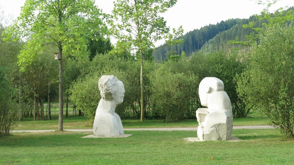
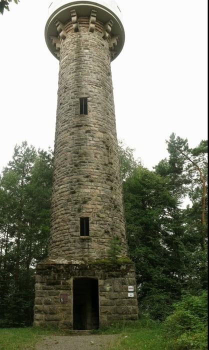
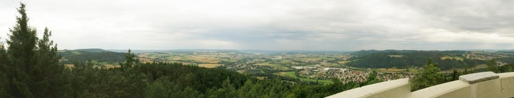
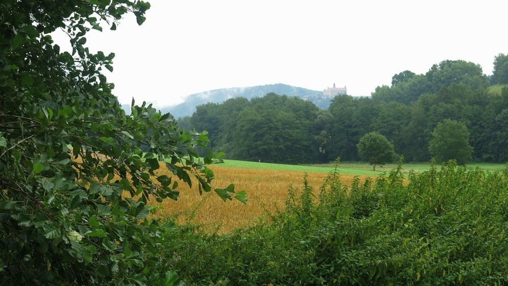
Von der Frankenweg-Tafel an der Pfählanger Straße durch den Park zur Seebühne und an der Haßlach weiter an Skulpturen vorbei bis zum Schlachthof. Nach links, über die Straße und bei der Rodelbahn rechts, bald länger kräftiger bergan im Wald, einmal scharf links ab und bald auf der Höhe weiter. Wir erreichen den Lucas- Cranach- Turm mit großartiger Aussicht. Es geht lange durch Wald und dann auf der Höhe weiter- leider mit Regen(!), an Rastplatz vorbei und schließlich wieder im Wald weiter. Am „Schau- mich- um“- Turm ,, ist es ,,aussichtslos“:nur Nebel. Dann geht es abwärts nach Höfstätten, über die Straße und bald über satte Wiesen weiter, vor einer Buschgruppe halbrechts über Wiesen weiter, in der Ferne sieht man die Plassenburg über Kulmbach im Dunst und es geht das letzte Stück im Regen durch die Stadt zum Busbahnhof. Mit dem Bus fahren wir zurück nach Kronach.
Frankenweg, meine Touren gps-tour.info
Etappe 1: /de/touren/detail.120809.html
Etappe 2: /de/touren/detail.121187.html
Etappe 3: /de/touren/detail.122046.html
Etappe 4: /de/touren/detail.122965.html
Tour gallery

Tour map and elevation profile
Minimum height 300 m
Maximum height 526 m
More about the tour author
|
|
heinz-57 |
Comments

In Kronach gibt es im Bereich des Anfangs dieser Etappe nur Kurzzeit- Parkplätze ("Rosenau" max. 5h); in der Lönsstraße kann man meist parken, es ist nur ein kurzes Stück zum Wegbeginn.
GPS tracks
Trackpoints-
GPX / Garmin Map Source (gpx) download
-
TCX / Garmin Training Center® (tcx) download
-
CRS / Garmin Training Center® (crs) download
-
Google Earth (kml) download
-
G7ToWin (g7t) download
-
TTQV (trk) download
-
Overlay (ovl) download
-
Fugawi (txt) download
-
Kompass (DAV) Track (tk) download
-
Track data sheet (pdf) download
-
Original file of the author (gpx) download
More about the tour author
|
|
heinz-57 |
Add to my favorites
Remove from my favorites
Edit tags
Open track
My score
Rate