


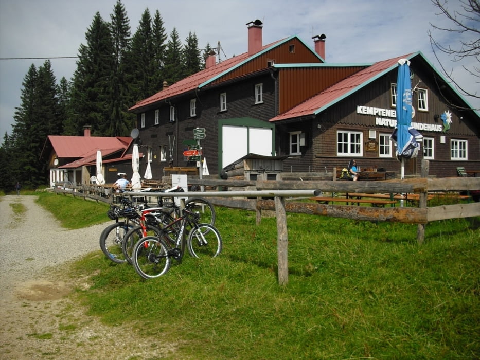
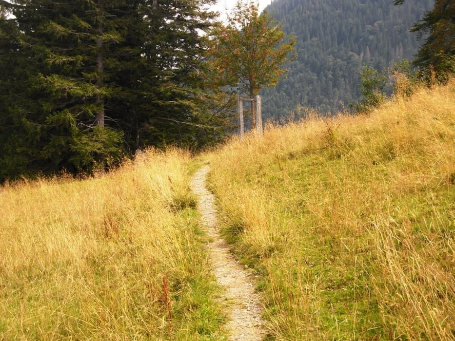
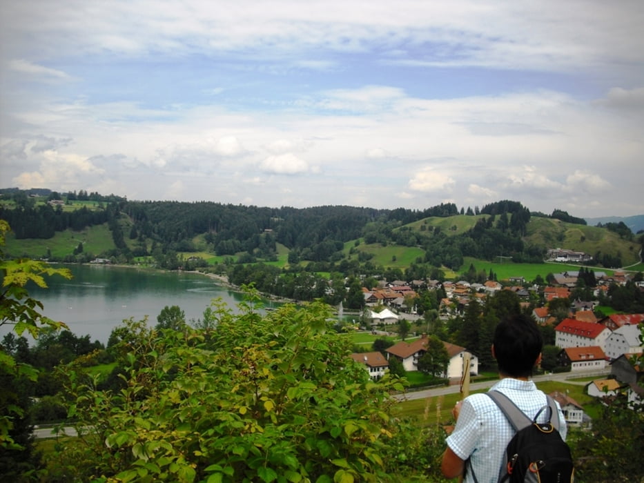
Die Wanderung startet beim Alpseehaus in Immenstadt/Bühl. Über Gschwend (hier gibts auch einen Parkplatz) gehen wir erst Richtung Bärenfalle und dann zur Starketsgund Alpe. Weiter zum Kemptener Naturfreundehaus mit Einkehrmöglichkeit. Vorbei am Gschwendner Horn kommen wir zurück zur Starketsgund Alpe und gehen nun rechts Richtung Bühl. Bei der Gschwendnerberg Alpe gehts nun zurück zum Parkplatz Gschwend und weiter nach Bühl.
Einkehrmöglichkeiten:
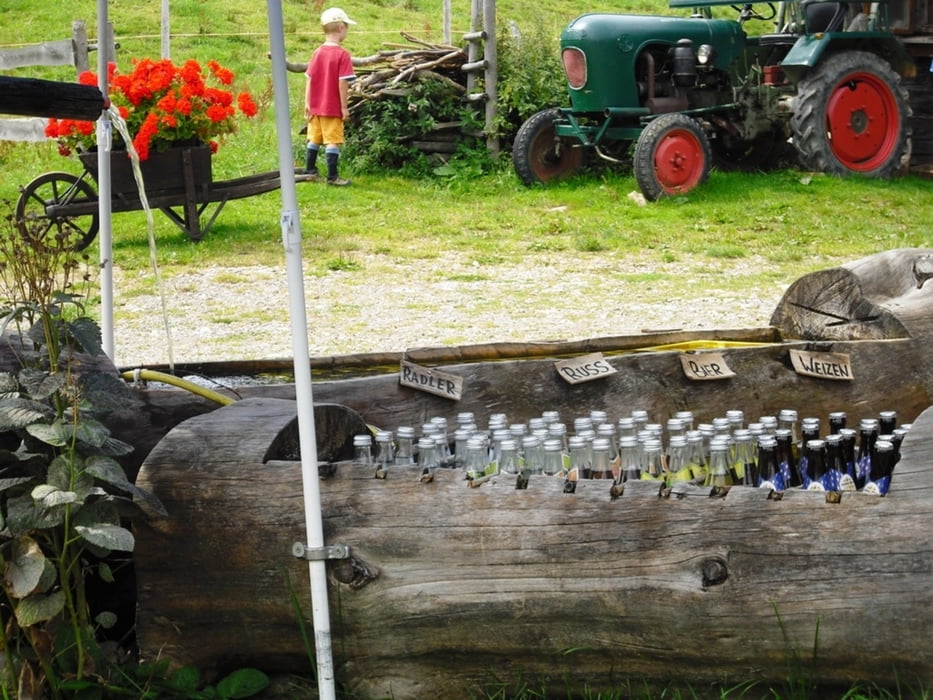
Starketsgundalpe, Kemptener Naturfreundehaus, Gschwendnerberg Alpe, Kleiners Hexenhäusle(Gschwend).
Further information at
http://www.kleiner-allgaeu.deTour gallery
Tour map and elevation profile
Minimum height 721 m
Maximum height 1437 m
More about the tour author
|
|
Bockrider |
Comments

Bühl am Alpsee Parkplatz (gebührenpflichtig) beim Alpseehaus. Oder Parkplatz Gschwend (gebührenpflichtig)
GPS tracks
Trackpoints-
GPX / Garmin Map Source (gpx) download
-
TCX / Garmin Training Center® (tcx) download
-
CRS / Garmin Training Center® (crs) download
-
Google Earth (kml) download
-
G7ToWin (g7t) download
-
TTQV (trk) download
-
Overlay (ovl) download
-
Fugawi (txt) download
-
Kompass (DAV) Track (tk) download
-
Track data sheet (pdf) download
-
Original file of the author (gpx) download
More about the tour author
|
|
Bockrider |
Add to my favorites
Remove from my favorites
Edit tags
Open track
My score
Rate