


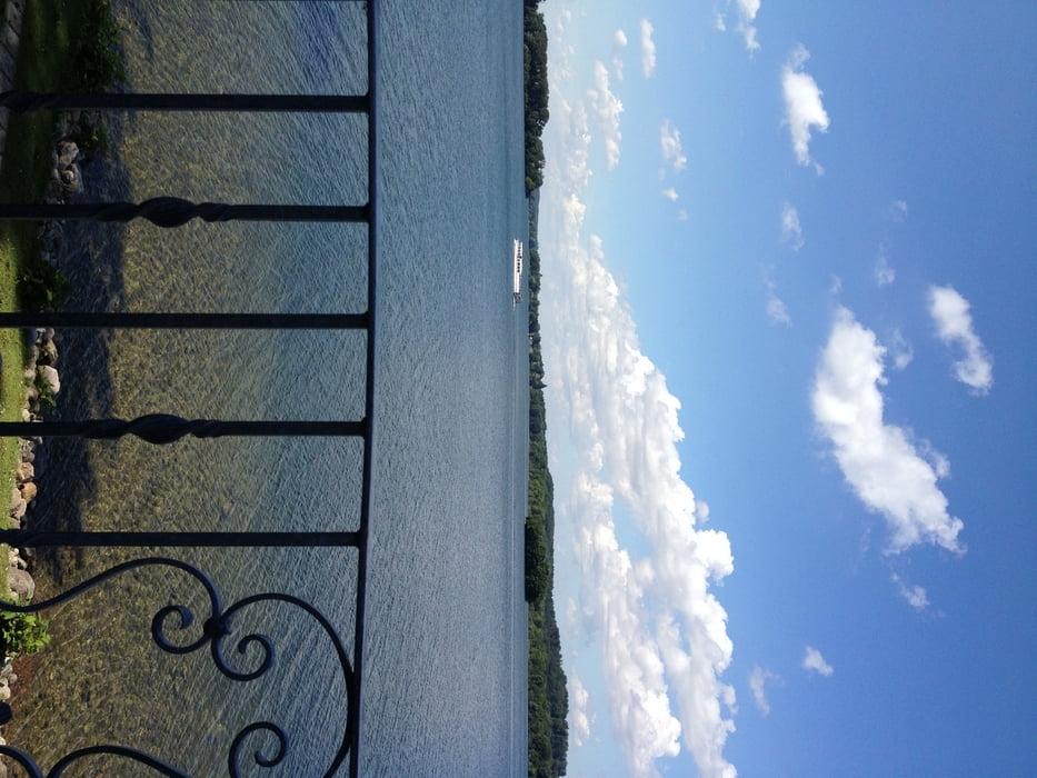
Startpunkt: Eutin - Fissau > Kellersee
Gegen den Uhrzeigersinn auf gut ausgebauten Wegen um den Kellersee und Ukleisee. Dann wieder an den Kellersee nach Malente und weiter in Richtung Fissau. Vorbei am Gut Rothensande (Immenhof, wo gerade Filmaufnahmen mit Rüdiger Wolff stattfanden).
Von Fissau aus wieder zurück nach Malente - Gremsmühlen- um weitere Seen der Holsteinischen Seen zu umrunden. Im Uhrzeigersinn um den Dieksee - Suhrer See nach Plön dann an den Behler See und wieder zurück zum Dieksee.
Tour gallery

Tour map and elevation profile
Minimum height 15 m
Maximum height 61 m
More about the tour author

|
sommi4 |
Comments

GPS tracks
Trackpoints-
GPX / Garmin Map Source (gpx) download
-
TCX / Garmin Training Center® (tcx) download
-
CRS / Garmin Training Center® (crs) download
-
Google Earth (kml) download
-
G7ToWin (g7t) download
-
TTQV (trk) download
-
Overlay (ovl) download
-
Fugawi (txt) download
-
Kompass (DAV) Track (tk) download
-
Track data sheet (pdf) download
-
Original file of the author (gpx) download
More about the tour author
|
|
sommi4 |
Add to my favorites
Remove from my favorites
Edit tags
Open track
My score
Rate