Login

Forgot your login?

Cookies have to be accepted!
Your browser's cookie functionality is disabled. Please enable this functionality.

Not a member yet?

Register now
Login

Available for registred users only

Log in to use this feature.

Forgot your login?

Cookies have to be accepted!
Your browser's cookie functionality is disabled. Please enable this functionality.

Not a member yet?

Register now
Filter
Categories
Advanced filters
  • Distance (km)
  • Height
Save filters Reset filter

TrackRank

QRCode

Technical data

Distance42,7 km Height872 m Way down873 m Duration00:00 h:m Date29.08.2013
Scores Author Landscape Fun factor Fitness Technique

Statistics

168 Views Scores 14 Downloads Average
Rate
  • Track data sheet
  • Directions
  • Downloads
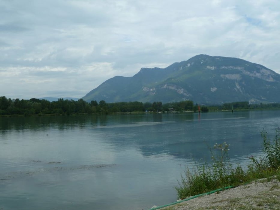
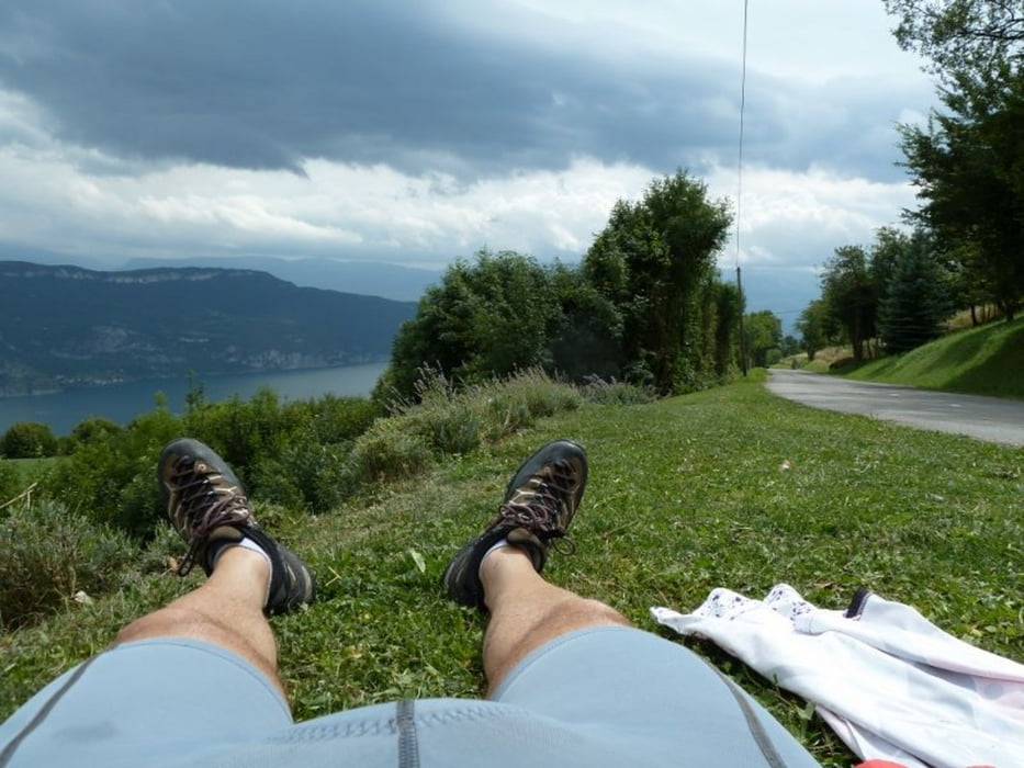
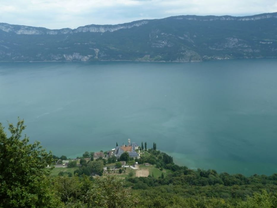
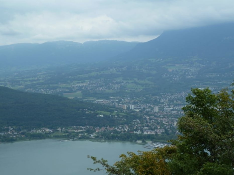
Parken beim Bahnhof in Vions, über Chanaz und der Rhone entlang hinauf nach Ontex und weiter nach Aix-le-Bain. Von dort mit der Bahn zurück nach Vions (Zug fährt alle Stunden).

Tour gallery

Tour map and elevation profile

  • Open Street Map
  • Google
Minimum height 229 m Maximum height 724 m Detailed view

More about the tour author

Manu191357
Member since 2012

Send private message

Comments

GPS tracks

Trackpoints
  • GPX / Garmin Map Source (gpx) download
  • TCX / Garmin Training Center® (tcx) download
  • CRS / Garmin Training Center® (crs) download
  • Google Earth (kml) download
  • G7ToWin (g7t) download
  • TTQV (trk) download
  • Overlay (ovl) download
  • Fugawi (txt) download
  • Kompass (DAV) Track (tk) download
  • Track data sheet (pdf) download
  • Original file of the author (gpx) download

More about the tour author

Manu191357
Member since 2012

Send private message
Share track
Add to my favorites
Remove from my favorites
Edit tags
My score
Rate
Track: Über Ontex nach Aix-le-Bain
Type: Bicycle tours
Distance: 42,7 km
Evaluated on:
Duration:
Day(s)
Hour(s)
Minute(s)
Score: Landscape Fun factor Fitness Technique