

Ist eine kleine nette Runde.
Startpunkt kann x-Beliebig gewählt werden.
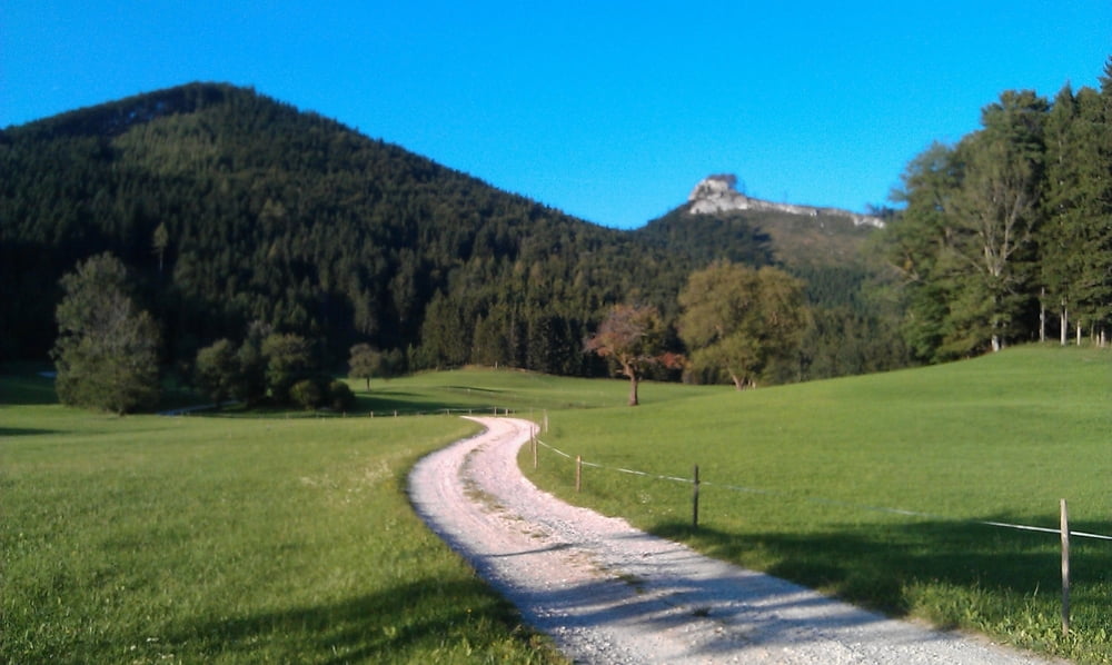
Bei mir war dieser Kreuzgruberhöhe, kann aber auch in Neudorf gewählt werden.
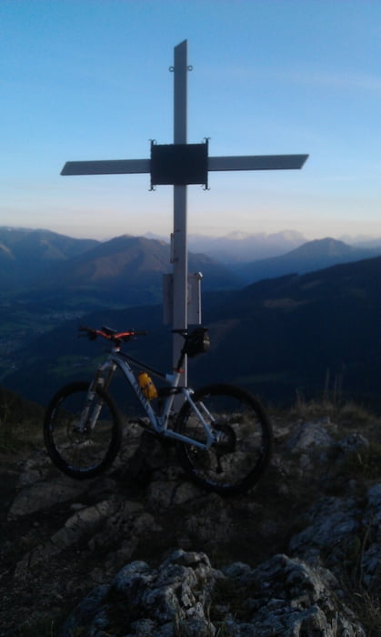
Bis Neudorf bleibt man auf Asphalt, danach wechselt man auf eine Forststraße, die uns bis auf den letzten 200 Meter zum Gipfel begleitet. Hier folgt ein kleiner Pfad, für geübte Biker zu bewältigen, oder man schiebt seine Esel :-).
Kurze Rast am Gipfel und dann geht's nach rechts weg, kleiner Pfad, der relativ bald zu einer Froststraße führt die man dann bis zur Kreuzgruberhöhe folgen kann.
Ab dort wieder zurück zum Ausgangspunkt.
Viel Spaß, vergesst aber nicht, dass ihr euch auf der Forststraße in einem Fahrverbot befindet!!!
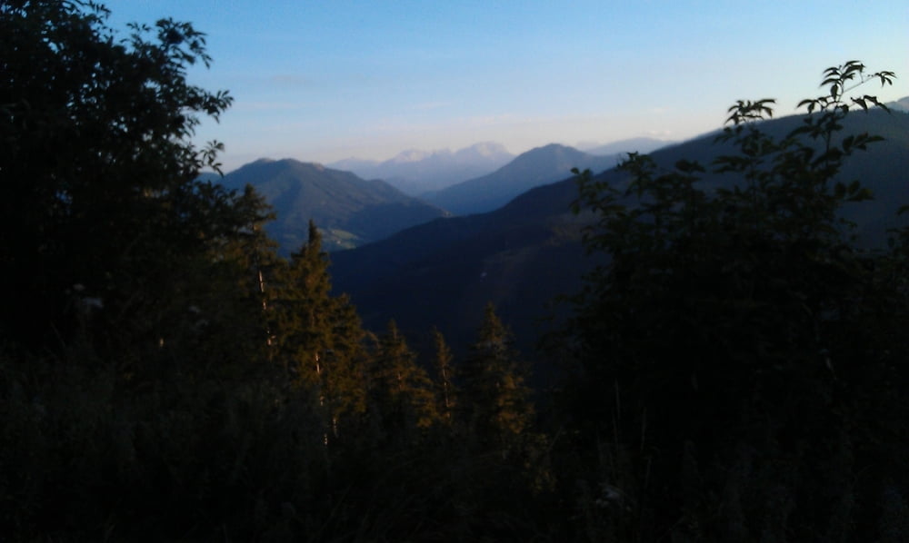
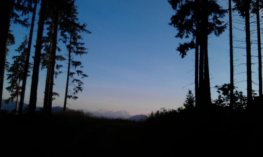
Tour gallery
Tour map and elevation profile
Minimum height 408 m
Maximum height 1091 m
More about the tour author
|
|
schoyswo |
Comments

x-Beliebig
GPS tracks
Trackpoints-
GPX / Garmin Map Source (gpx) download
-
TCX / Garmin Training Center® (tcx) download
-
CRS / Garmin Training Center® (crs) download
-
Google Earth (kml) download
-
G7ToWin (g7t) download
-
TTQV (trk) download
-
Overlay (ovl) download
-
Fugawi (txt) download
-
Kompass (DAV) Track (tk) download
-
Track data sheet (pdf) download
-
Original file of the author (gpx) download
More about the tour author
|
|
schoyswo |
Add to my favorites
Remove from my favorites
Edit tags
Open track
My score
Rate