Login

Forgot your login?

Cookies have to be accepted!
Your browser's cookie functionality is disabled. Please enable this functionality.

Not a member yet?

Register now
Login

Available for registred users only

Log in to use this feature.

Forgot your login?

Cookies have to be accepted!
Your browser's cookie functionality is disabled. Please enable this functionality.

Not a member yet?

Register now
Filter
Categories
Advanced filters
  • Distance (km)
  • Height
Save filters Reset filter

TrackRank

QRCode

Technical data

Distance153,4 km Height3390 m Way down3349 m Duration09:22 h:m Date06.09.2013
Scores Author Landscape Fun factor Fitness Technique

Statistics

194 Views Scores 27 Downloads Average
Rate
  • Track data sheet
  • Directions
  • Downloads

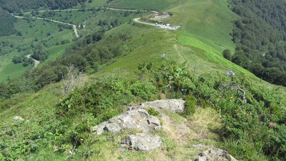
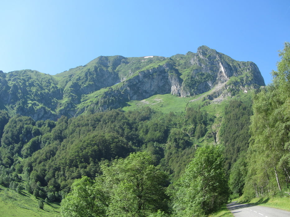
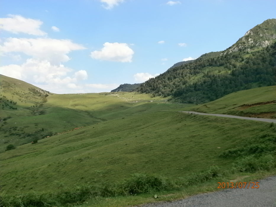
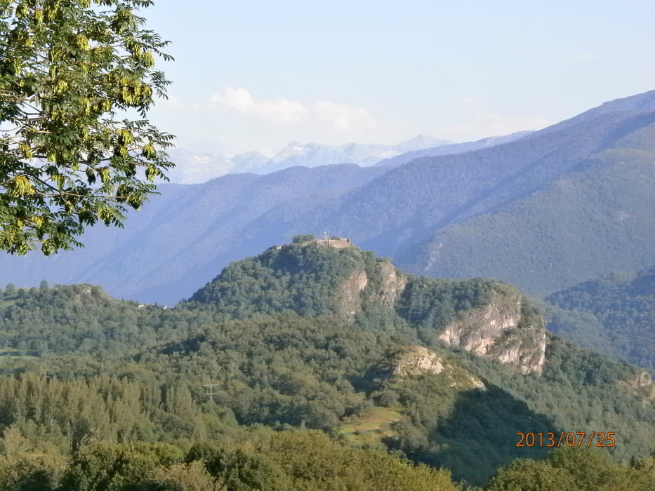
Schöne und anspruchvolle Tour mit einigen Bergen Col de la Core, Col de Latrape, Col d`Agnes

Landkarte Michelin Nr.343 Garonne-Tal / Pays de Foix
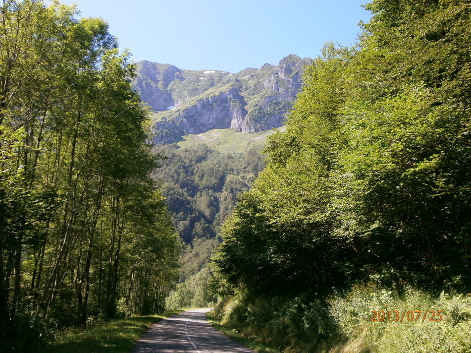
Tour gallery

Tour map and elevation profile

  • Open Street Map
  • Google
Minimum height 533 m Maximum height 1612 m Detailed view

More about the tour author

Red-Marin
Member since 2009

Send private message

Comments

GPS tracks

Trackpoints
  • GPX / Garmin Map Source (gpx) download
  • TCX / Garmin Training Center® (tcx) download
  • CRS / Garmin Training Center® (crs) download
  • Google Earth (kml) download
  • G7ToWin (g7t) download
  • TTQV (trk) download
  • Overlay (ovl) download
  • Fugawi (txt) download
  • Kompass (DAV) Track (tk) download
  • Track data sheet (pdf) download
  • Original file of the author (tcx) download

More about the tour author

Red-Marin
Member since 2009

Send private message
Share track
Add to my favorites
Remove from my favorites
Edit tags
My score
Rate
Track: Pyreäen Tour 2013 5.Tag Sanit-Lary - Ax - les-Thermes
Type: Road biking
Distance: 153,4 km
Evaluated on:
Duration:
Day(s)
Hour(s)
Minute(s)
Score: Landscape Fun factor Fitness Technique