
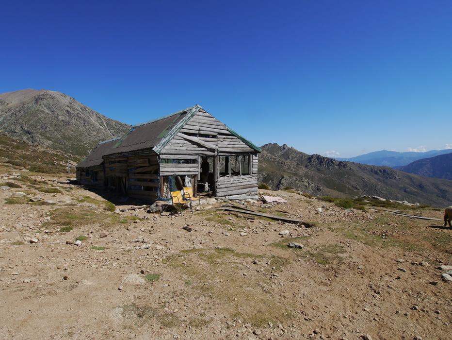

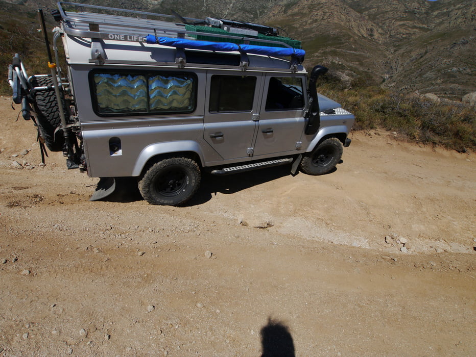
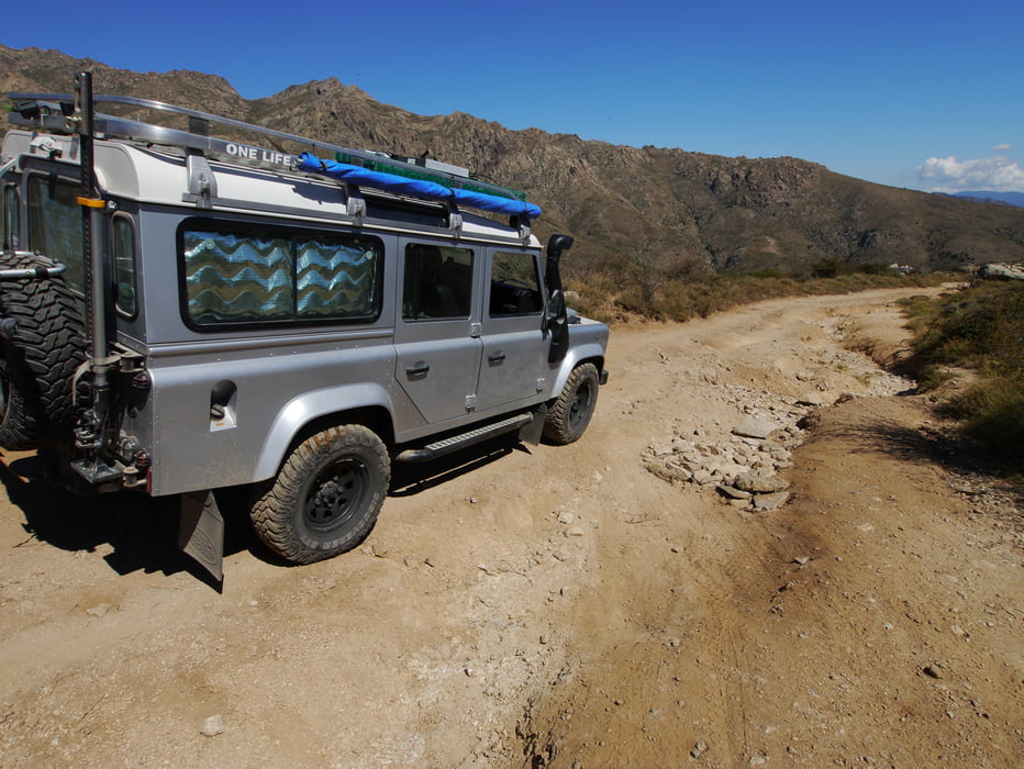
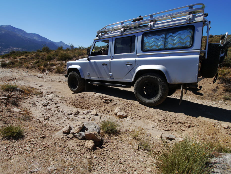
From the U Monte Cinto campground at Lozzi, just continue on the gravel road to the Mt. Cinto hut. The road is an a fairly bad shape and should only be attempted by a 4x4 vehicle due to deep ruts. The view over the valley and the lake is very nice. The hut itself is abandoned and in a really bad shape but the old bar is still standing.
Tour gallery

Tour map and elevation profile
Minimum height 1070 m
Maximum height 1595 m
More about the tour author
|
|
MaxDefender |
Comments

From the D84, at Calacuccia, take the exit toward Lozzi. Drive through Lozzi towards the two campgrounds where the track starts.
GPS tracks
Trackpoints-
GPX / Garmin Map Source (gpx) download
-
TCX / Garmin Training Center® (tcx) download
-
CRS / Garmin Training Center® (crs) download
-
Google Earth (kml) download
-
G7ToWin (g7t) download
-
TTQV (trk) download
-
Overlay (ovl) download
-
Fugawi (txt) download
-
Kompass (DAV) Track (tk) download
-
Track data sheet (pdf) download
-
Original file of the author (gpx) download
More about the tour author
|
|
MaxDefender |
Add to my favorites
Remove from my favorites
Edit tags
Open track
My score
Rate