Login

Forgot your login?

Cookies have to be accepted!
Your browser's cookie functionality is disabled. Please enable this functionality.

Not a member yet?

Register now
Login

Available for registred users only

Log in to use this feature.

Forgot your login?

Cookies have to be accepted!
Your browser's cookie functionality is disabled. Please enable this functionality.

Not a member yet?

Register now
Filter
Categories
Advanced filters
  • Distance (km)
  • Height
Save filters Reset filter

TrackRank

QRCode

Technical data

Distance61,3 km Height1393 m Way down1343 m Duration00:00 h:m Date20.09.2013
Scores Author Landscape Fun factor Fitness Technique

Statistics

315 Views Scores 83 Downloads Average
Rate
  • Track data sheet
  • Directions
  • Downloads

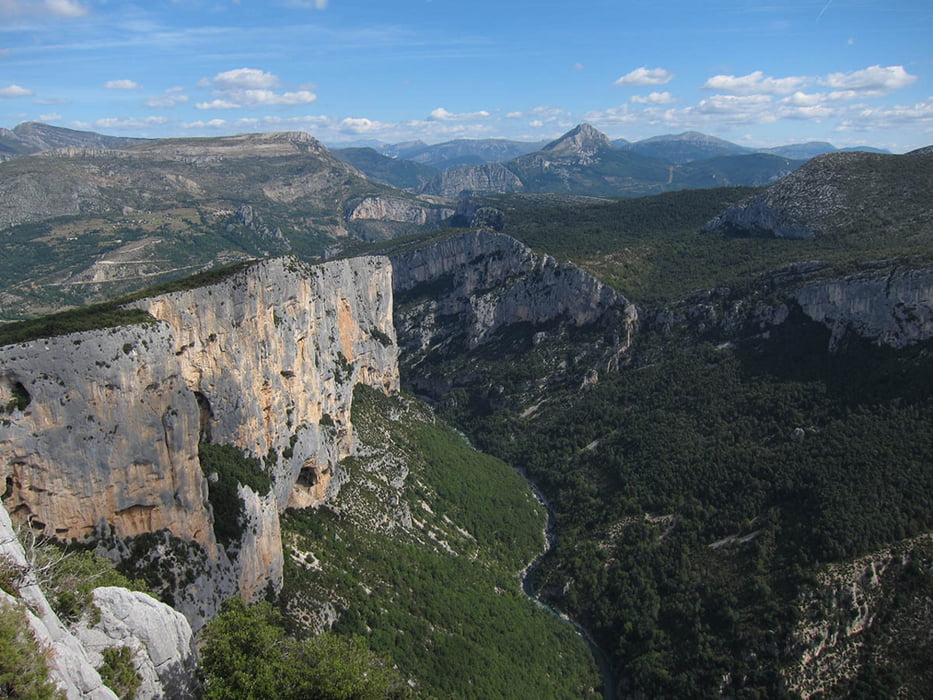
Sehr schöne Tour mit herrlichen Ausblicken in die Verdon Schlucht.

Unbedingt Zeit für Stops an den zahlreichen Ausblickstellen einplanen.
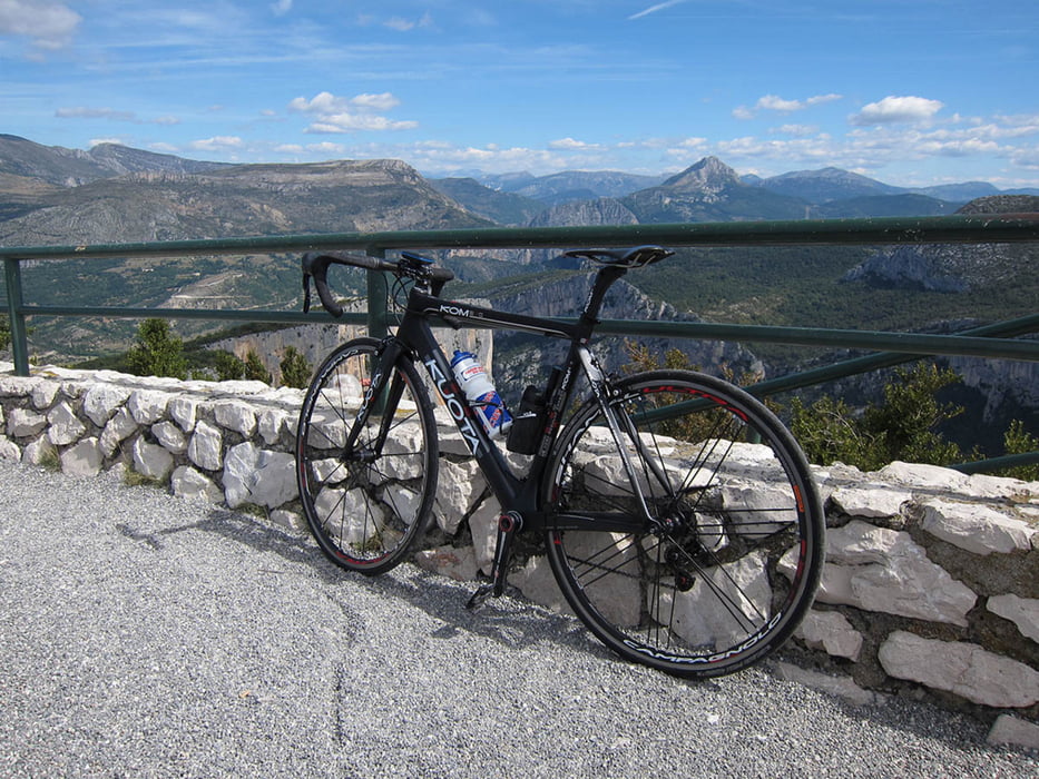
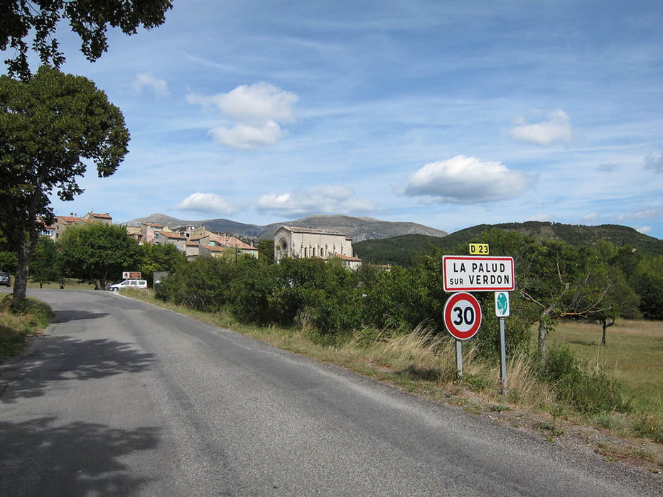
 

Tour gallery

Tour map and elevation profile

  • Open Street Map
  • Google
Minimum height 452 m Maximum height 1288 m Detailed view

More about the tour author

tims10
Member since 2010

Send private message

Comments

Start und Ziel in Moustiers oder Les Salles sur Veron

GPS tracks

Trackpoints
  • GPX / Garmin Map Source (gpx) download
  • TCX / Garmin Training Center® (tcx) download
  • CRS / Garmin Training Center® (crs) download
  • Google Earth (kml) download
  • G7ToWin (g7t) download
  • TTQV (trk) download
  • Overlay (ovl) download
  • Fugawi (txt) download
  • Kompass (DAV) Track (tk) download
  • Track data sheet (pdf) download
  • Original file of the author (gpx) download

More about the tour author

tims10
Member since 2010

Send private message
Share track
Add to my favorites
Remove from my favorites
Edit tags
My score
Rate
Track: Verdonrunde
Type: Road biking
Distance: 61,3 km
Evaluated on:
Duration:
Day(s)
Hour(s)
Minute(s)
Score: Landscape Fun factor Fitness Technique