

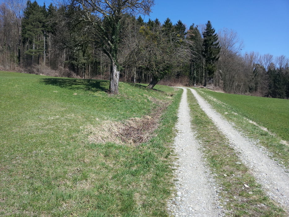
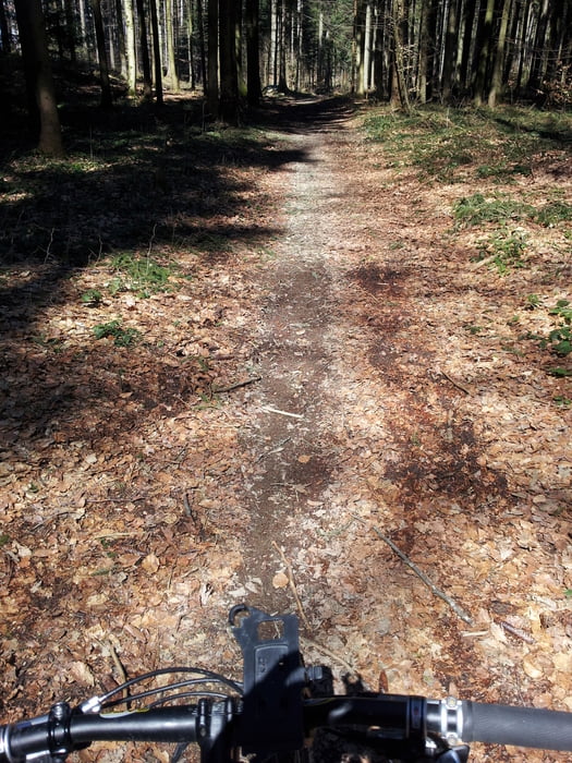
Von Oberteuringen City gehts über Stadel (Achtung: Militanter Traktorenverkehr!) bergaufwärts am Bergleshof vorbei auf eine Schotterpiste. Nach kurzer Zeit links abbiegen, dann nochmal links auf den Trail. Danach folgt wieder eine Schotterpiste bis zum Ferienhof Gehrenberg. Hier rechts rauf und nach einer Weile links in den Trail einbiegen. Der Track führt jetzt nach Möggenweiler, wo es die besten Hähnchen im Gasthof Paradies gibt. Auch der Zwiebelrostbraten ist empfehlenswert...
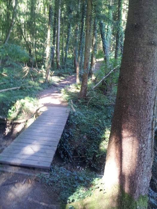
Ab jetzt gehts einen Trail rauf bis man letztendlich am Turm angekommen ist. Hier links an der Abbruchkante vorbei und ab jetzt gehts abwärts.
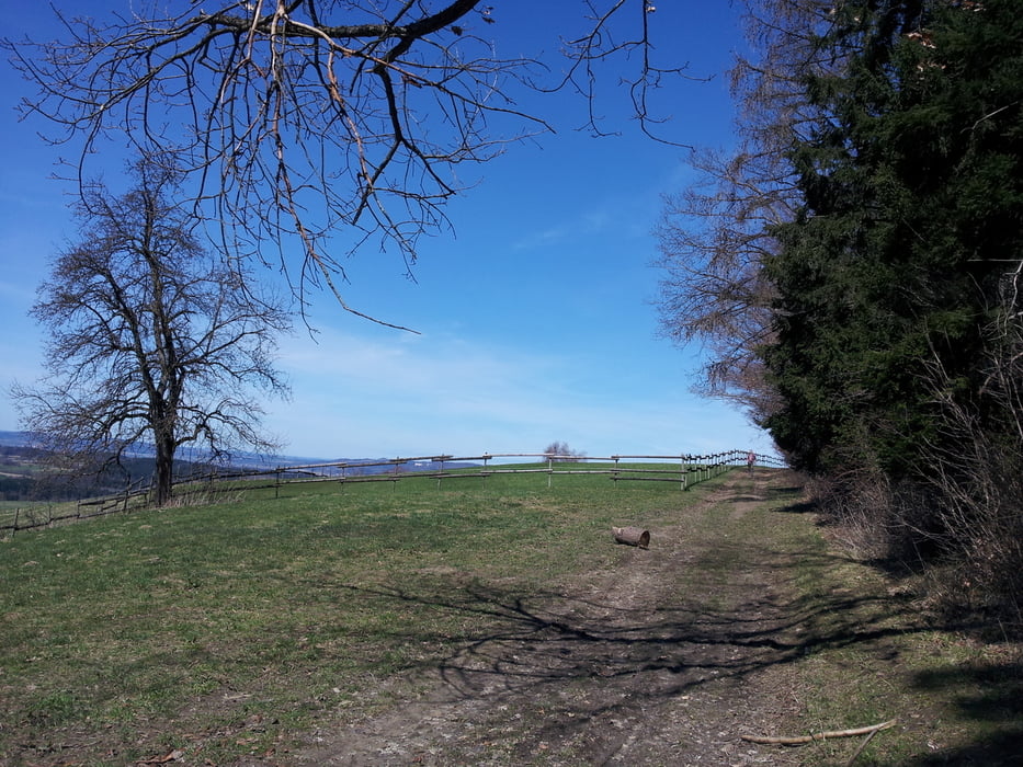
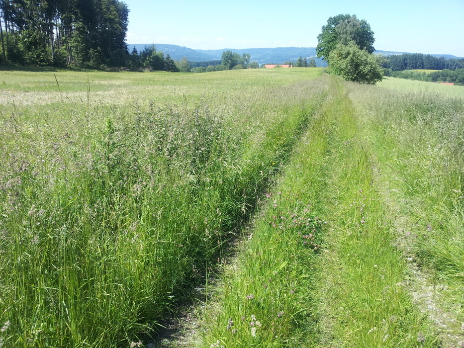
Gegen später gehts noch mal ein bisschen rauf und dann wars das auch schon.
Further information at
http://www.gehrenberg-bodensee.de/poi/gasthaus-zum-paradies.htmlTour gallery
Tour map and elevation profile
Minimum height 492 m
Maximum height 775 m
More about the tour author
|
|
Wayneschlegell |
Comments

Start am Edeka in Oberteuingen City.
GPS tracks
Trackpoints-
GPX / Garmin Map Source (gpx) download
-
TCX / Garmin Training Center® (tcx) download
-
CRS / Garmin Training Center® (crs) download
-
Google Earth (kml) download
-
G7ToWin (g7t) download
-
TTQV (trk) download
-
Overlay (ovl) download
-
Fugawi (txt) download
-
Kompass (DAV) Track (tk) download
-
Track data sheet (pdf) download
-
Original file of the author (gpx) download
More about the tour author
|
|
Wayneschlegell |
Add to my favorites
Remove from my favorites
Edit tags
Open track
My score
Rate