Login

Forgotten password?

Cookies have to be accepted!
Your browser's cookie functionality is disabled. Please enable this functionality.

Not a member yet?

Register now
Login

Available for registred users only

Log in to use this feature.

Forgotten password?

Cookies have to be accepted!
Your browser's cookie functionality is disabled. Please enable this functionality.

Not a member yet?

Register now
Filter
Categories
Advanced filters
  • Distance (km)
  • Height
Save filters Reset filter

TrackRank

QRCode

Technical data

Distance12,9 km Height247 m Way down248 m Duration04:00 h:m Date26.09.2013
Scores Author Landscape Fun factor Fitness Technique

Statistics

575 Views Scores 23 Downloads Average
Rate
  • Track data sheet
  • Directions
  • Downloads
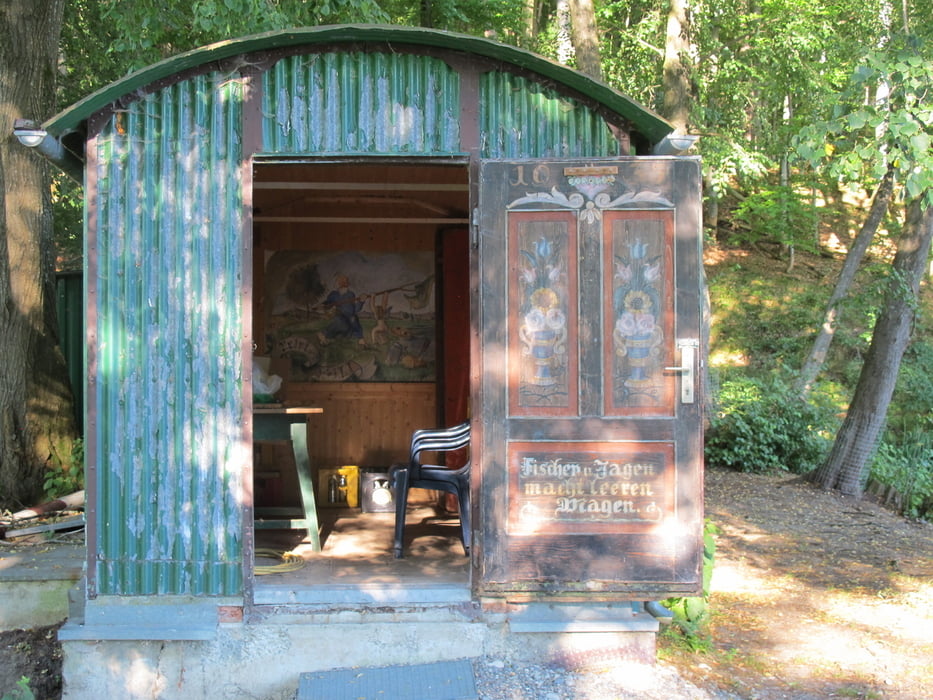
Auf stillen Wegen sind wir durch den Forst zwischen Altenstadt und Osterberg unterwegs. Bis auf den Mariensteig sind es überwiegend gut ausgebaute Wald- und Feldwege. Immer wieder gibt es schöne Ausblicke. An klaren Föhntagen kommt die Kette der Alpen ins Blickfeld.

Tour gallery

Tour map and elevation profile

  • Open Street Map
  • Google
Minimum height 561 m Maximum height 631 m Detailed view

More about the tour author

ulipele
Member since 2011

Send private message

Comments

Wir starten in Osterberg etwas oberhalb der Kirche an einer Straßenkreuzung. Das Areal der Wanderung liegt knapp östlich der Autobahn A 7. 

GPS tracks

Trackpoints
  • GPX / Garmin Map Source (gpx) download
  • TCX / Garmin Training Center® (tcx) download
  • CRS / Garmin Training Center® (crs) download
  • Google Earth (kml) download
  • G7ToWin (g7t) download
  • TTQV (trk) download
  • Overlay (ovl) download
  • Fugawi (txt) download
  • Kompass (DAV) Track (tk) download
  • Track data sheet (pdf) download
  • Original file of the author (gpx) download

More about the tour author

ulipele
Member since 2011

Send private message
Share track
Add to my favorites
Remove from my favorites
Edit tags
My score
Rate
Track: Stille Wege zwischen Altenstadt und Osterberg Wanderserie Augsburger Allgemeine Illertisser Zeitung Mittelschwäbische Nachrichten Kreis Neu-Ulm
Type: Hiking
Distance: 12,9 km
Evaluated on:
Duration:
Day(s)
Hour(s)
Minute(s)
Score: Landscape Fun factor Fitness Technique