


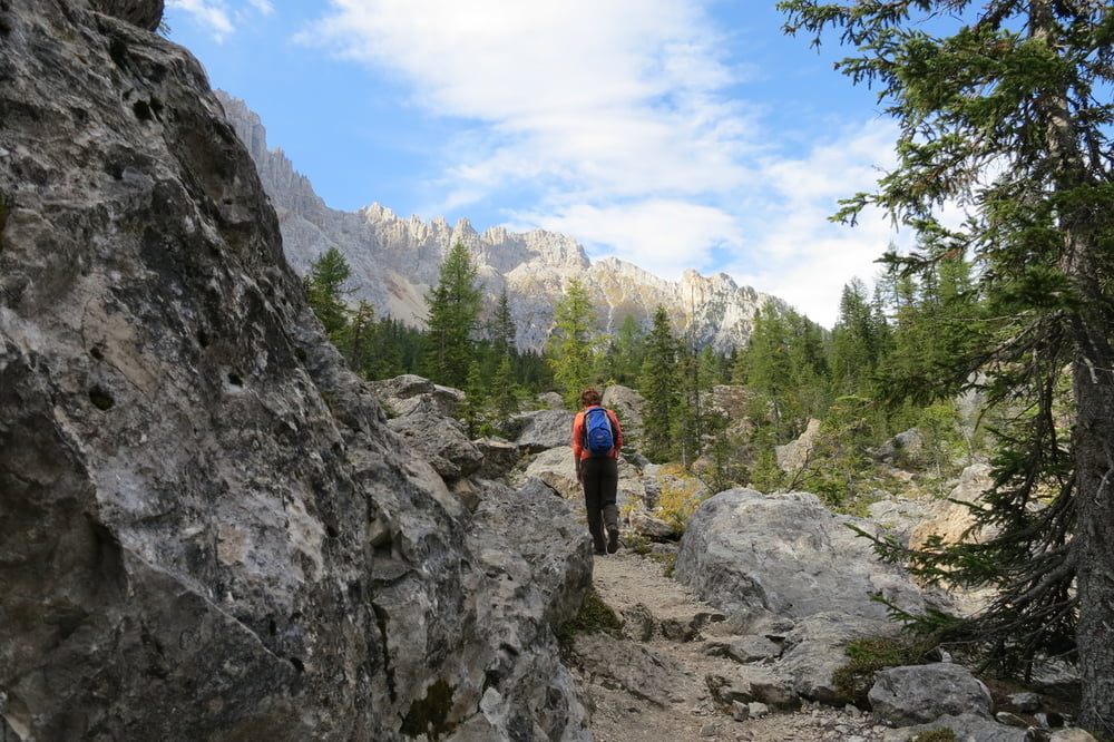
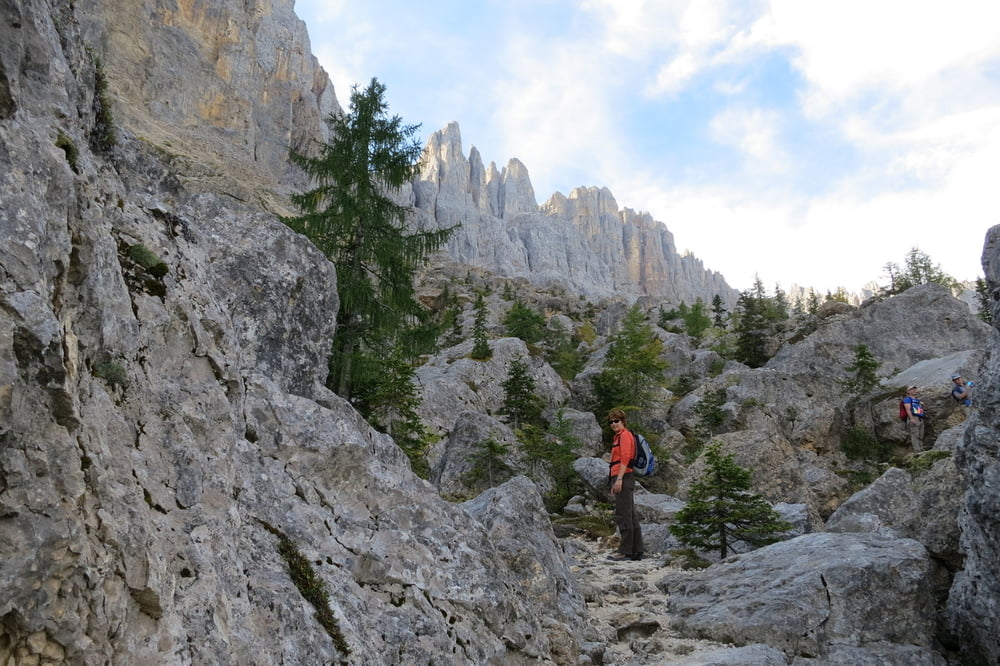
Sehr schöne Familienwanderung durch´s Felslabyrint in der Geröllhalde des Latemar. Nicht nur für Kinder eine interesante Tour
Wir Parken unser Auto auf dem gebührenfreien Parkplatz beim Grand Hotel Karersee. Dort starten wir auch die Wanderung.
Zuerst folgen wir dem Weg Nr. 18, später Nr. 20 zum Fels - Labyrint. Weiter zum Mitterleger und von dort auf Weg Nr. 11.
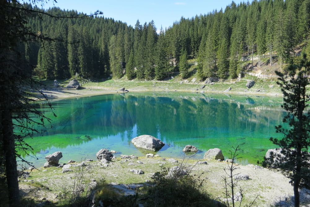
Wir verlassen den Agatha - Christie - Weg und machen einen Abstecher zum Karersee, von dort zurück zu unserem Ausgangspunkt.
PS: am Weg entlang gibt es keine Einkehrmöglichkeiten, deshalb Getränke und Vesper mitnehmen!
Die Tour wurde vom Tourismusverein Welschnofen zur Verfügung gestellt.
http://suedtirol.pro/agatha-christie-weg-2/
Further information at
http://suedtirol.pro/agatha-christie-weg-2/Tour gallery

Tour map and elevation profile
Minimum height 1549 m
Maximum height 1899 m
More about the tour author
|
|
W-C |
Comments

Anfahrt:
Von Bozen nach Blumau, beim Kreisverkehr abbiegen ins Eggental bis nach Welschnofen und Richtung Karer Pass zum Grand Hotel Karersee.
Grand Hotel Carezza Residence
Karerseestraße 141 | 39056 Karersee BZ (Südtirol - Dolomiten
http://www.grandhotelcarezza.it/htmlde/raggiungerci.html
Koordinaten:
N46° 24.430´
E11° 35.109´
GPS tracks
Trackpoints-
GPX / Garmin Map Source (gpx) download
-
TCX / Garmin Training Center® (tcx) download
-
CRS / Garmin Training Center® (crs) download
-
Google Earth (kml) download
-
G7ToWin (g7t) download
-
TTQV (trk) download
-
Overlay (ovl) download
-
Fugawi (txt) download
-
Kompass (DAV) Track (tk) download
-
Track data sheet (pdf) download
-
Original file of the author (gpx) download
More about the tour author
|
|
W-C |
Add to my favorites
Remove from my favorites
Edit tags
Open track
My score
Rate