Login

Forgot your login?

Cookies have to be accepted!
Your browser's cookie functionality is disabled. Please enable this functionality.

Not a member yet?

Register now
Login

Available for registred users only

Log in to use this feature.

Forgot your login?

Cookies have to be accepted!
Your browser's cookie functionality is disabled. Please enable this functionality.

Not a member yet?

Register now
Filter
Categories
Advanced filters
  • Distance (km)
  • Height
Save filters Reset filter

TrackRank

QRCode

Technical data

Distance12,4 km Height701 m Way down697 m Duration05:00 h:m Date29.09.2013
Scores Author Landscape Fun factor Fitness Technique

Statistics

165 Views Scores 5 Downloads Average
Rate
  • Track data sheet
  • Directions
  • Downloads

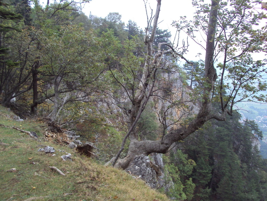
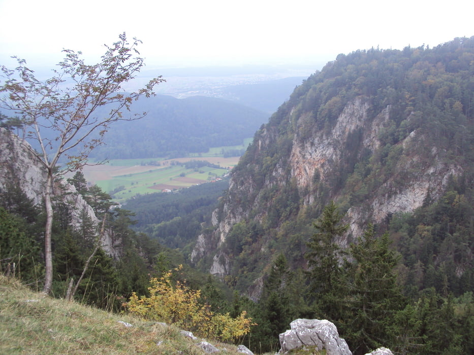
 Igazából a Gebirgsvereinsteig volt a célunk,csak eltévesztettük az utat....

 Springlessteig-en fel,kis kóricálás a Hohe Wand tetején,aztán le...
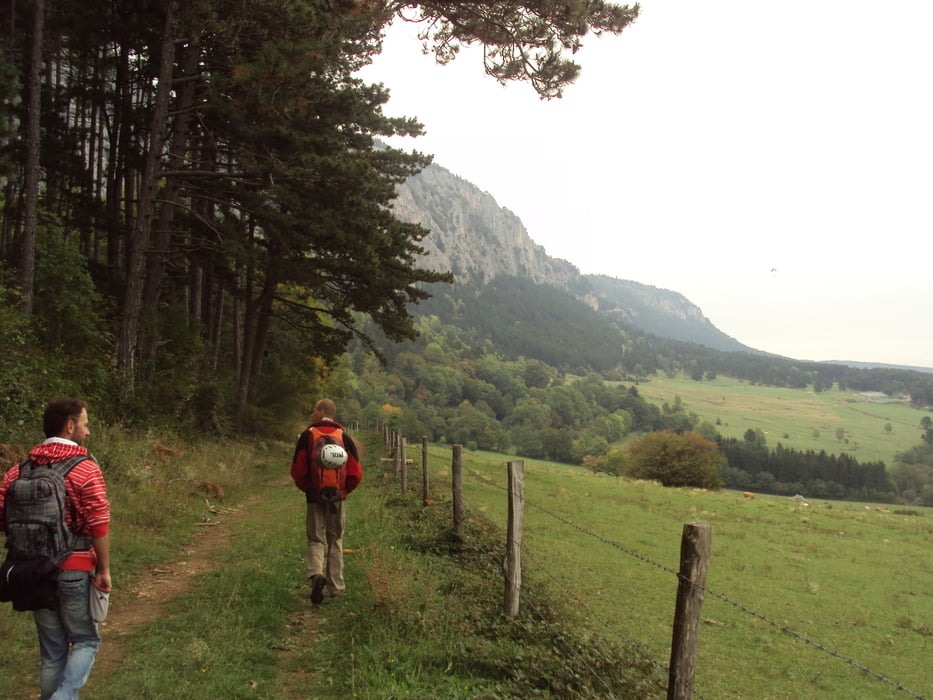
Tour gallery

Tour map and elevation profile

  • Open Street Map
  • Google
Minimum height 470 m Maximum height 963 m Detailed view

More about the tour author

frontera74
Member since 2011

Send private message

Comments

Autóval Oberhöflein-ig,illetve vonattal pl.Untehöflein megállóig.

GPS tracks

Trackpoints
  • GPX / Garmin Map Source (gpx) download
  • TCX / Garmin Training Center® (tcx) download
  • CRS / Garmin Training Center® (crs) download
  • Google Earth (kml) download
  • G7ToWin (g7t) download
  • TTQV (trk) download
  • Overlay (ovl) download
  • Fugawi (txt) download
  • Kompass (DAV) Track (tk) download
  • Track data sheet (pdf) download
  • Original file of the author (gpx) download

More about the tour author

frontera74
Member since 2011

Send private message
Share track
Add to my favorites
Remove from my favorites
Edit tags
My score
Rate
Track: Hohe Wand túra a Springlessteigen fel
Type: Hiking
Distance: 12,4 km
Evaluated on:
Duration:
Day(s)
Hour(s)
Minute(s)
Score: Landscape Fun factor Fitness Technique