Login

Forgot your login?

Cookies have to be accepted!
Your browser's cookie functionality is disabled. Please enable this functionality.

Not a member yet?

Register now
Login

Available for registred users only

Log in to use this feature.

Forgot your login?

Cookies have to be accepted!
Your browser's cookie functionality is disabled. Please enable this functionality.

Not a member yet?

Register now
Filter
Categories
Advanced filters
  • Distance (km)
  • Height
Save filters Reset filter

TrackRank

QRCode

Technical data

Distance15,6 km Height70 m Way down73 m Duration03:15 h:m Date03.10.2013
Scores Author Landscape Fun factor Fitness Technique

Statistics

629 Views Scores 70 Downloads Average
Rate
  • Track data sheet
  • Directions
  • Downloads


 nach Wanderführer ROTHER       ISBN 978-3-7633-4371-3

 blau 27

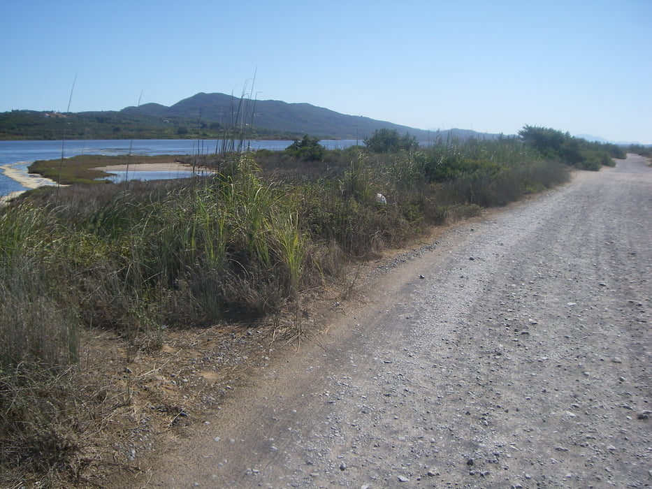
Ausgangspunkt:  Kap Gardiki
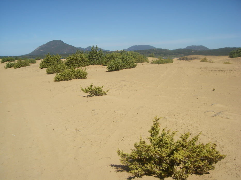
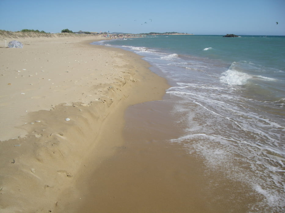
Tour gallery

Tour map and elevation profile

  • Open Street Map
  • Google
Minimum height -19 m Maximum height 12 m Detailed view

More about the tour author

scholle-d
Member since 2011

Send private message

Comments

GPS tracks

Trackpoints
  • GPX / Garmin Map Source (gpx) download
  • TCX / Garmin Training Center® (tcx) download
  • CRS / Garmin Training Center® (crs) download
  • Google Earth (kml) download
  • G7ToWin (g7t) download
  • TTQV (trk) download
  • Overlay (ovl) download
  • Fugawi (txt) download
  • Kompass (DAV) Track (tk) download
  • Track data sheet (pdf) download
  • Original file of the author (gpx) download

More about the tour author

scholle-d
Member since 2011

Send private message
Share track
Add to my favorites
Remove from my favorites
Edit tags
My score
Rate
Track: die Korission- Lagune
Type: Hiking
Distance: 15,6 km
Evaluated on:
Duration:
Day(s)
Hour(s)
Minute(s)
Score: Landscape Fun factor Fitness Technique