


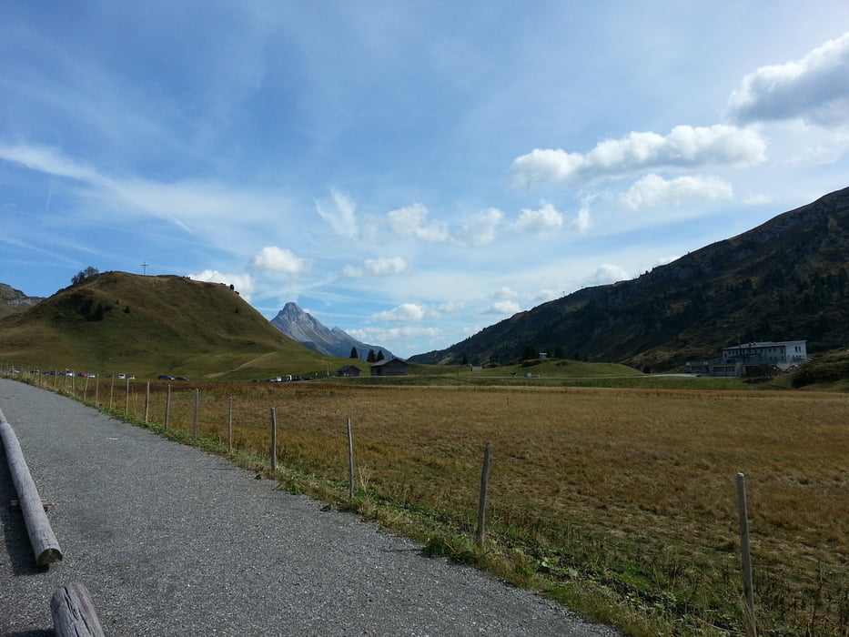
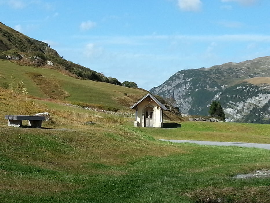
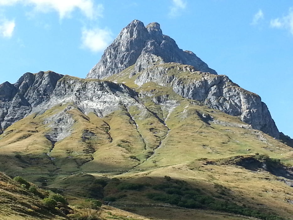
Von Rankweil über das Furkajoch ca ein 23 km langer Anstieg mit einem flachen mittel Teil,ab Hotel Laterns Bad steiler Anstieg mit ca 10 bis 12 % Steigung. Landschaftlich schöne Abfahrt nach Damüls. Dann Richtung Au , Schoppernau durch den Bregenzerwald Anstieg nach Warth , Lech via Zürs über den Flexenpass nach Stuben Tal auswärts fahren wir wieder zurück nach Rankweil.
Tour gallery
Tour map and elevation profile
Minimum height 467 m
Maximum height 1730 m
More about the tour author
|
|
Jogger0 |
Comments

Via Autobahn N 3 nach Sargans bis Feldkirch weiter zum Startort Rankweil
GPS tracks
Trackpoints-
GPX / Garmin Map Source (gpx) download
-
TCX / Garmin Training Center® (tcx) download
-
CRS / Garmin Training Center® (crs) download
-
Google Earth (kml) download
-
G7ToWin (g7t) download
-
TTQV (trk) download
-
Overlay (ovl) download
-
Fugawi (txt) download
-
Kompass (DAV) Track (tk) download
-
Track data sheet (pdf) download
-
Original file of the author (gpx) download
More about the tour author
|
|
Jogger0 |
Add to my favorites
Remove from my favorites
Edit tags
Open track
My score
Rate