

Vom Hotel Diana gehts los einige Meter die PAssstrasse rauf bis zum Adler. Dann auf dem Wanderweg 25 / 25A bis nach Obereggen.
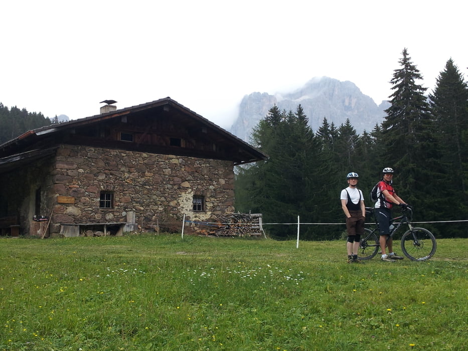
In der Ortsmitte links und rauf ins Schigeiet zur Laner Alm. Weiter bis zur Ganischer Alm und hier die breite Strasse verlassen. Links den Wanderweg hoch bis zum Satteljoch.
Jetzt kann man auf zimlich steilen Bertonrampen abwärts die Bremsen testen. Wenns qualmt, einfach mal stehen bleiben. Die Schotterpiste runter ins Tal und dabei die Abzweigung kurz vor Predazzo nicht verpassen.
Dann den Radweg durchs Fassatal bis nach Moena folgen. Hier gehts wieder rauf Richtung KArerpass.
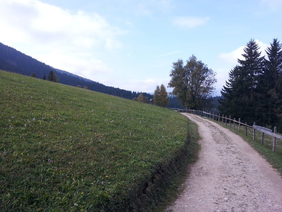
Vom Karerpass fahren wir ein Stück auf der Asphaltstrasse runter, dann auf den Wanderweg 10, der wieder bis zum Hotel führt.
Further information at
http://www.eggental.com/urlaub-suedtirol.htmlTour gallery

Tour map and elevation profile
Minimum height 1090 m
Maximum height 2215 m
More about the tour author
|
|
Wayneschlegell |
Comments

Âbfahrt vom Hotel Diana in Welschnofen.
GPS tracks
Trackpoints-
GPX / Garmin Map Source (gpx) download
-
TCX / Garmin Training Center® (tcx) download
-
CRS / Garmin Training Center® (crs) download
-
Google Earth (kml) download
-
G7ToWin (g7t) download
-
TTQV (trk) download
-
Overlay (ovl) download
-
Fugawi (txt) download
-
Kompass (DAV) Track (tk) download
-
Track data sheet (pdf) download
-
Original file of the author (gpx) download
More about the tour author
|
|
Wayneschlegell |
Add to my favorites
Remove from my favorites
Edit tags
Open track
My score
Rate