
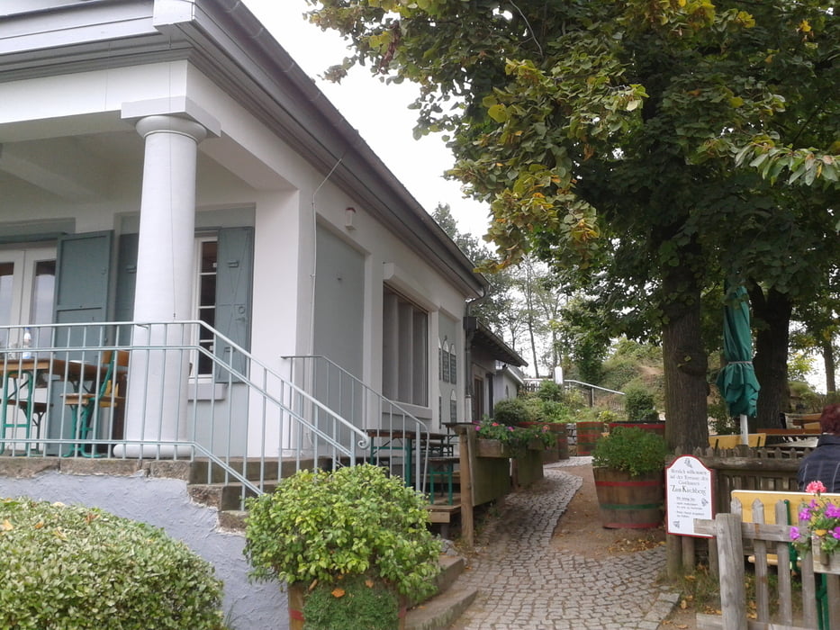

Die Tour beginnt in Seeheim Jugenheim und hat einen sehr hohen Singletrail Anteil. Sie führt über die Burg Frankensteln zum Felsberg. Vom Felsberg aus in Richtung Heppenheim zum Kirchberghäuschen. Einfach dort eine Pause einplanen. Danach geht es ein kurzes Stück auf dem gleichen Weg zurück und dann geht es zum letzten Anstieg auf den Melibokus. Von dort einen schönen, langen Trail bis fast nach Seeheim zurück.
Further information at
http://www.kirchberghaeuschen.de/Tour map and elevation profile
Minimum height 144 m
Maximum height 516 m
More about the tour author
|
|
hobmann |
Comments

GPS tracks
Trackpoints-
GPX / Garmin Map Source (gpx) download
-
TCX / Garmin Training Center® (tcx) download
-
CRS / Garmin Training Center® (crs) download
-
Google Earth (kml) download
-
G7ToWin (g7t) download
-
TTQV (trk) download
-
Overlay (ovl) download
-
Fugawi (txt) download
-
Kompass (DAV) Track (tk) download
-
Track data sheet (pdf) download
-
Original file of the author (gpx) download
More about the tour author
|
|
hobmann |
Add to my favorites
Remove from my favorites
Edit tags
Open track
My score
Rate