


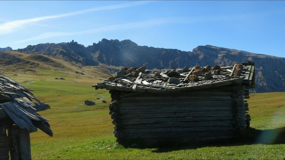
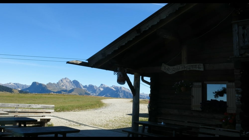
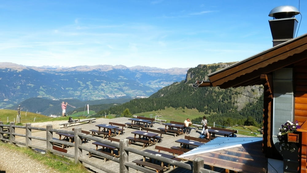
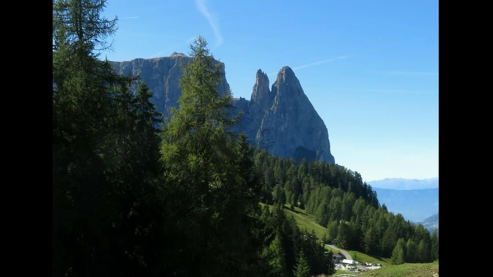
Von der Seilbahn zur Straße in Compatsch, auf Weg 7 stetig leicht bergan, am Hotel Santner vorbei. An Kreuzung rechts ab mit Weg 6 zum Panorama- Hotel und auf der Höhe eben dahin zur Laurin- Hütte mit schöner Rastmöglichkeit. Dann geht es vor der markanten Kulisse des Schlern ab Abzweigung mit 5B meist abwörts zur Spitzbühel- Hütte und weiter hinunter zur Sesselbahn- Station. Zurück bergan nach Compatsch.
Tour gallery

Tour map and elevation profile
Minimum height 1715 m
Maximum height 2019 m
More about the tour author
|
|
heinz-57 |
Comments

Am südlichen Ortsende von Seis am Schlern geht es mit der Umlauf- Gondelbahn auf die Seiser- Alm nach Compatsch.
GPS tracks
Trackpoints-
GPX / Garmin Map Source (gpx) download
-
TCX / Garmin Training Center® (tcx) download
-
CRS / Garmin Training Center® (crs) download
-
Google Earth (kml) download
-
G7ToWin (g7t) download
-
TTQV (trk) download
-
Overlay (ovl) download
-
Fugawi (txt) download
-
Kompass (DAV) Track (tk) download
-
Track data sheet (pdf) download
-
Original file of the author (gpx) download
More about the tour author
|
|
heinz-57 |
Add to my favorites
Remove from my favorites
Edit tags
Open track
My score
Rate