

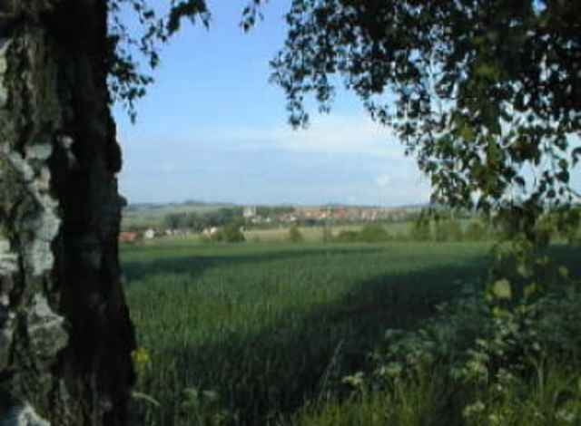
Diese Tour zeigt das Lipperland ebenfalls von seiner Glanzseite.
Die Route geht um die Gemeinde Barntrup im wünderschönen Lippe.
Die Wegmarkierungen sind durch ein \"B\" in einem weißen Kreis auf schwarzem Grund gut erkennen und können dahe auch gut zur Wegfindung genutzt werden.
Die Zeit von 2:45h sind sehr locker gefahren.
Ich Gegensatz zum Dörentrupper Rundwanderweg, ist diese Tour technischt nicht ganz so anspruchsvoll und daher auch für Einsteiger bestens geeignet.
Further information at
http://www.barntrup.deTour gallery
Tour map and elevation profile
Minimum height 147 m
Maximum height 323 m
More about the tour author
|
|
lumix |
Comments

Startpunkt ist \"Haus der Begegnung\" in der Triftstraße.
GPS tracks
Trackpoints-
GPX / Garmin Map Source (gpx) download
-
TCX / Garmin Training Center® (tcx) download
-
CRS / Garmin Training Center® (crs) download
-
Google Earth (kml) download
-
G7ToWin (g7t) download
-
TTQV (trk) download
-
Overlay (ovl) download
-
Fugawi (txt) download
-
Kompass (DAV) Track (tk) download
-
Track data sheet (pdf) download
-
Original file of the author (g7t) download
More about the tour author
|
|
lumix |
Add to my favorites
Remove from my favorites
Edit tags
Open track
My score
Rate