Login

Forgot your login?

Cookies have to be accepted!
Your browser's cookie functionality is disabled. Please enable this functionality.

Not a member yet?

Register now
Login

Available for registred users only

Log in to use this feature.

Forgot your login?

Cookies have to be accepted!
Your browser's cookie functionality is disabled. Please enable this functionality.

Not a member yet?

Register now
Filter
Categories
Advanced filters
  • Distance (km)
  • Height
Save filters Reset filter

TrackRank

QRCode

Technical data

Distance64,2 km Height289 m Way down183 m Duration00:00 h:m Date20.10.2013
Scores Author Landscape Fun factor Fitness Technique

Statistics

425 Views Scores 31 Downloads Average
Rate
  • Track data sheet
  • Directions
  • Downloads
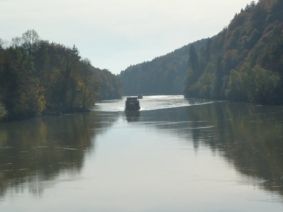
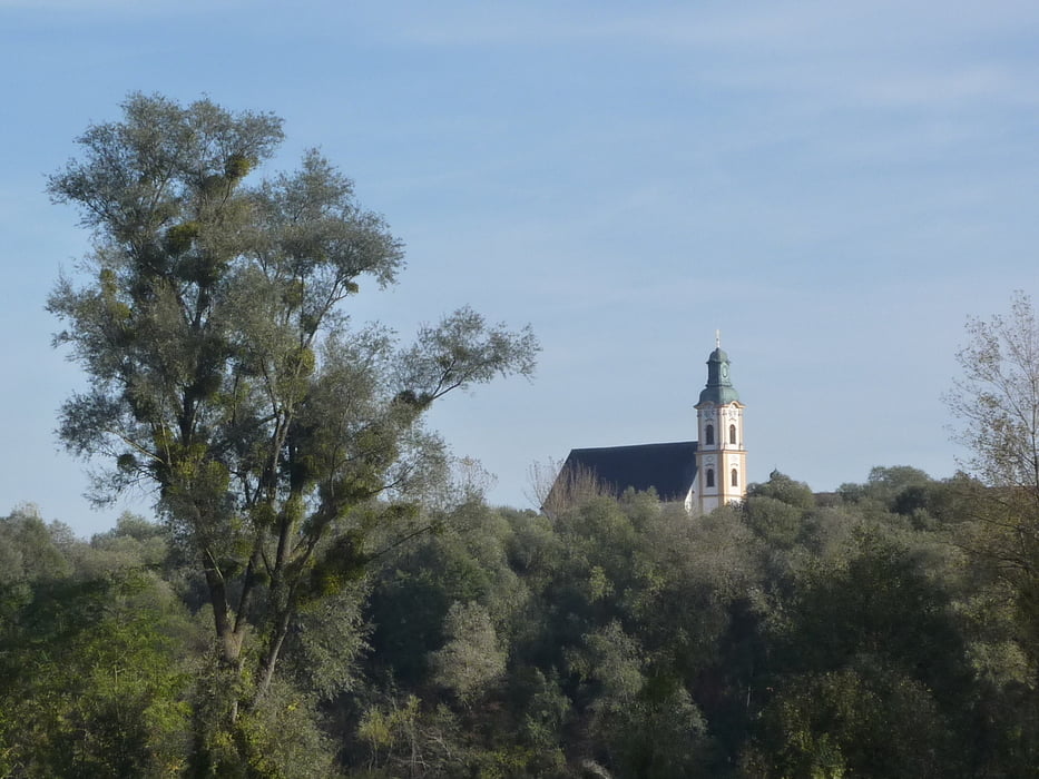
Entlang des Inns flussaufwärts von Passau bis Braunau - die Route entspricht der des Tauernradweges. Zuerst durch Passau, dann ein Stück Österreich. Die längste Strecke wird am bayrischen Innufer zurückgelegt, bevor man kurz vor dem Ziel den Inn von Simbach nach Braunau überquert.

Tour gallery

Tour map and elevation profile

  • Open Street Map
  • Google
Minimum height 238 m Maximum height 350 m Detailed view

More about the tour author

rail-com

Comments

Bahn bis Passau

GPS tracks

Trackpoints
  • GPX / Garmin Map Source (gpx) download
  • TCX / Garmin Training Center® (tcx) download
  • CRS / Garmin Training Center® (crs) download
  • Google Earth (kml) download
  • G7ToWin (g7t) download
  • TTQV (trk) download
  • Overlay (ovl) download
  • Fugawi (txt) download
  • Kompass (DAV) Track (tk) download
  • Track data sheet (pdf) download
  • Original file of the author (gpx) download

More about the tour author

rail-com

Share track
Add to my favorites
Remove from my favorites
Edit tags
My score
Rate
Track: Eurovelo 7 (Nordkap - Malta) Süd: 003 Passau - Braunau
Type: Bicycle tours
Distance: 64,2 km
Evaluated on:
Duration:
Day(s)
Hour(s)
Minute(s)
Score: Landscape Fun factor Fitness Technique