
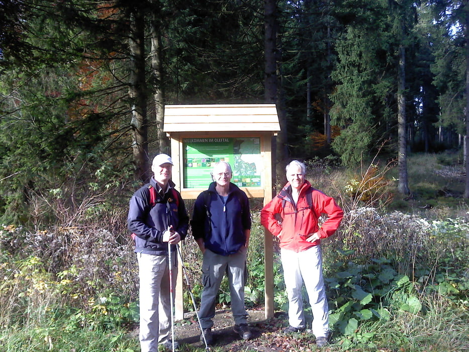

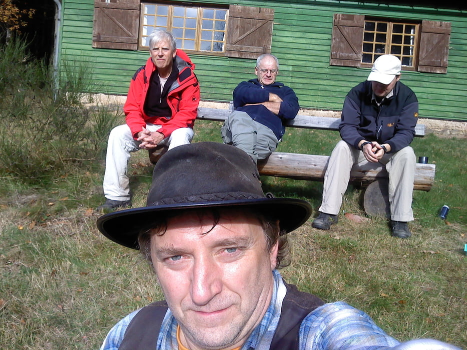
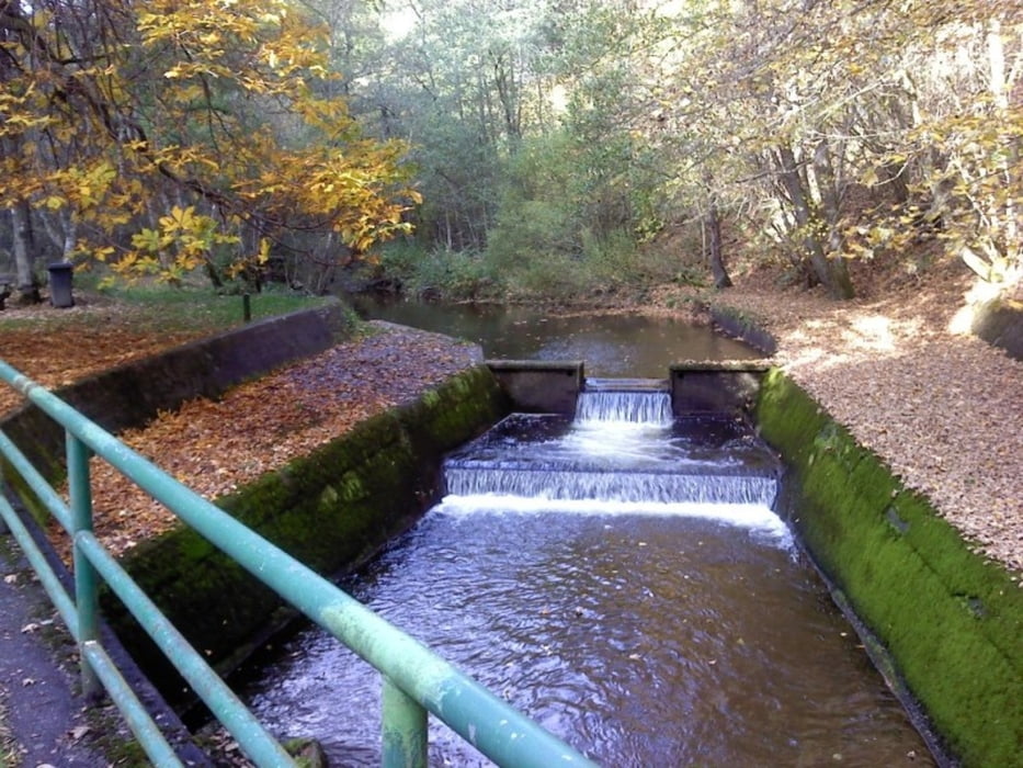
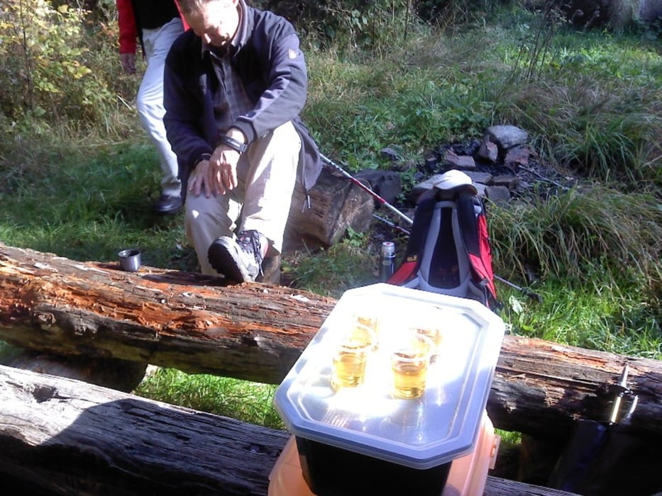
Eine wunderschöne Wanderung durch den rocherather Wald und das Oleftal bis zum Anfang der Oleftalsperre.Bei Sonnenschein machte es richtig Spass durch herbstliche bunte Natur zu wandern.Bei dieser Wanderung gibt es kein Einkehrmöglichkeiten und es sind ungefähr 50% Asphaltwege und der Rest ist gutbegehbarer Waldweg.
Further information at
http://www.zuraltenschmiede.beTour gallery
Tour map and elevation profile
Minimum height 470 m
Maximum height 665 m
More about the tour author
|
|
Wanderfrosch1960 |
Comments

Start ist bei der Kirche in Krinkelt-Rocherath
GPS tracks
Trackpoints-
GPX / Garmin Map Source (gpx) download
-
TCX / Garmin Training Center® (tcx) download
-
CRS / Garmin Training Center® (crs) download
-
Google Earth (kml) download
-
G7ToWin (g7t) download
-
TTQV (trk) download
-
Overlay (ovl) download
-
Fugawi (txt) download
-
Kompass (DAV) Track (tk) download
-
Track data sheet (pdf) download
-
Original file of the author (gpx) download
More about the tour author
|
|
Wanderfrosch1960 |
Add to my favorites
Remove from my favorites
Edit tags
Open track
My score
Rate