


oltre i limiti
Saint Jaques-Rif. Tournalin-Col de Nannaz (Col di Lana)-
Santuario-Chamois-Antey saint Andrè-Torgnon-Lignan
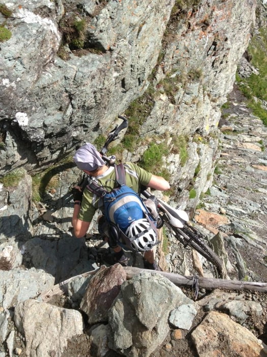
Wunderbarer Aufstieg zum Rif Tournalin, dann ein halbstündiges schwieriges Schiebe- und Tragestücke zum
Dach der Tour: Col de Nannaz (Col di Lana). Zum Santuario noch ein kurzes Schiebestück, sonst geht’s rasant hinunter nach Chamois-
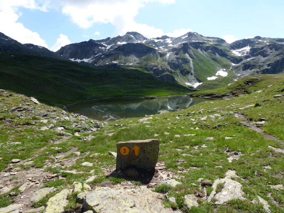
Einer der wenigen Orte in Europa, die per Auto nicht erreichbar sind. Das Matterhorn ist leider wolkenverhangen, trotzdem großartig!
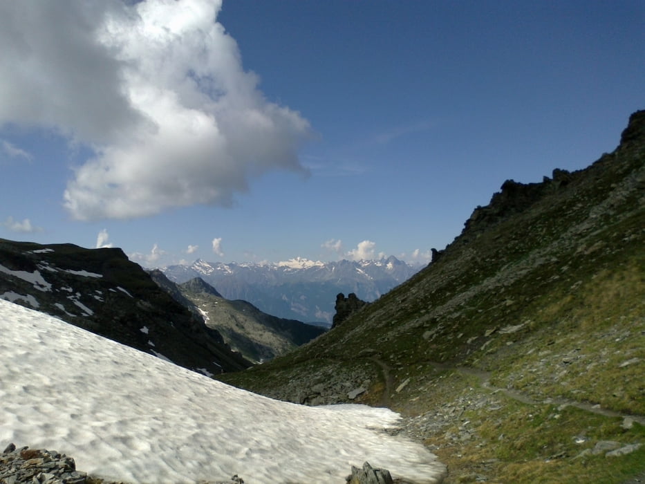
Nach Antey S. Andrè teils harte trails sonst schöne Abfahrt. Nach Torgnon ca 500hm Straßenanstieg in großer Hitze. Richtung Lignan 2 kl. Verfahrer, aber lässige Strecke.
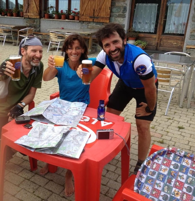
Heute mit Stefania und neuem Begleiter: Patrik, ein mtb guide aus Aosta.
Tour gallery
Tour map and elevation profile
Minimum height 1067 m
Maximum height 2773 m
More about the tour author
|
|
mitter |
Comments

Start in Saint Jaques.
GPS tracks
Trackpoints-
GPX / Garmin Map Source (gpx) download
-
TCX / Garmin Training Center® (tcx) download
-
CRS / Garmin Training Center® (crs) download
-
Google Earth (kml) download
-
G7ToWin (g7t) download
-
TTQV (trk) download
-
Overlay (ovl) download
-
Fugawi (txt) download
-
Kompass (DAV) Track (tk) download
-
Track data sheet (pdf) download
-
Original file of the author (gpx) download
More about the tour author
|
|
mitter |
Add to my favorites
Remove from my favorites
Edit tags
Open track
My score
Rate