Login

Forgotten password?

Cookies have to be accepted!
Your browser's cookie functionality is disabled. Please enable this functionality.

Not a member yet?

Register now
Login

Available for registred users only

Log in to use this feature.

Forgotten password?

Cookies have to be accepted!
Your browser's cookie functionality is disabled. Please enable this functionality.

Not a member yet?

Register now
Filter
Categories
Advanced filters
  • Distance (km)
  • Height
Save filters Reset filter

TrackRank

QRCode

Technical data

Distance36,1 km Height196 m Way down238 m Duration02:05 h:m Date25.12.2007
Scores Author Landscape Fun factor Fitness Technique

Statistics

264 Views Scores 27 Downloads Average
Rate
  • Track data sheet
  • Directions
  • Downloads
29.8.2007
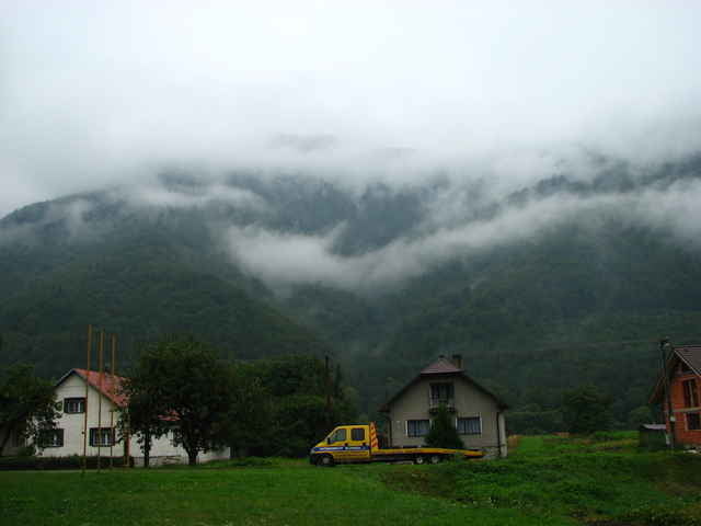
Zastihol nás vytrvalý dážď, ktorý bol príčinou malej prejdenej vzdialenosti.

Tour gallery

Tour map and elevation profile

  • Open Street Map
  • Google
Minimum height 403 m Maximum height 518 m Detailed view

More about the tour author

tmax
Member since 2007

Send private message

Comments

Široká - Kňažia - Mokraď - Dolný Kubín - Geceľ - Zábrež - Oravská Poruba - Párnica - Kraľovany - Ratkovo

GPS tracks

Trackpoints
  • GPX / Garmin Map Source (gpx) download
  • TCX / Garmin Training Center® (tcx) download
  • CRS / Garmin Training Center® (crs) download
  • Google Earth (kml) download
  • G7ToWin (g7t) download
  • TTQV (trk) download
  • Overlay (ovl) download
  • Fugawi (txt) download
  • Kompass (DAV) Track (tk) download
  • Track data sheet (pdf) download

More about the tour author

tmax
Member since 2007

Send private message
Share track
Add to my favorites
Remove from my favorites
Edit tags
My score
Rate
Track: 20070829_Cyklotour 2007_6.deň_Cez Kraľovany do Ratkova
Type: Mountain bike
Distance: 36,1 km
Evaluated on:
Duration:
Day(s)
Hour(s)
Minute(s)
Score: Landscape Fun factor Fitness Technique