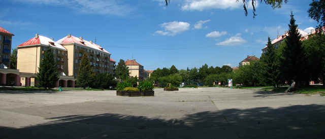
Login

Forgotten password?

Cookies have to be accepted!
Your browser's cookie functionality is disabled. Please enable this functionality.

Not a member yet?

Register now
Login

Available for registred users only

Log in to use this feature.

Forgotten password?

Cookies have to be accepted!
Your browser's cookie functionality is disabled. Please enable this functionality.

Not a member yet?

Register now
Filter
Categories
Advanced filters
  • Distance (km)
  • Height
Save filters Reset filter

TrackRank

QRCode

Technical data

Distance104,4 km Height477 m Way down328 m Duration06:25 h:m Date25.12.2007
Scores Author Landscape Fun factor Fitness Technique

Statistics

271 Views Scores 26 Downloads Average
Rate
  • Track data sheet
  • Directions
  • Downloads
25.8.2007

Tour gallery

Tour map and elevation profile

  • Open Street Map
  • Google
Minimum height 181 m Maximum height 372 m Detailed view

More about the tour author

tmax
Member since 2007

Send private message

Comments

Moravské Lieskové - Nové Mesto nad Váhom - Zelená Voda - Beckov - Trenčín - Opatová - Trenčianska Teplá - Nová Dubnica - Ilava - Podvažie - Savčina - Dulov - Horovce - Lednické Rovne - Púchov - Nové Nosice - Nimnica - Udiča - Považská Bystrica - Považská Teplá

GPS tracks

Trackpoints
  • GPX / Garmin Map Source (gpx) download
  • TCX / Garmin Training Center® (tcx) download
  • CRS / Garmin Training Center® (crs) download
  • Google Earth (kml) download
  • G7ToWin (g7t) download
  • TTQV (trk) download
  • Overlay (ovl) download
  • Fugawi (txt) download
  • Kompass (DAV) Track (tk) download
  • Track data sheet (pdf) download

More about the tour author

tmax
Member since 2007

Send private message
Share track
Add to my favorites
Remove from my favorites
Edit tags
My score
Rate
Track: 20070825_Cyklotour 2007_2.deň_Údolím Váhu do Manínskej tiesňavy
Type: Mountain bike
Distance: 104,4 km
Evaluated on:
Duration:
Day(s)
Hour(s)
Minute(s)
Score: Landscape Fun factor Fitness Technique