Login

Forgot your login?

Cookies have to be accepted!
Your browser's cookie functionality is disabled. Please enable this functionality.

Not a member yet?

Register now
Login

Available for registred users only

Log in to use this feature.

Forgot your login?

Cookies have to be accepted!
Your browser's cookie functionality is disabled. Please enable this functionality.

Not a member yet?

Register now
Filter
Categories
Advanced filters
  • Distance (km)
  • Height
Save filters Reset filter

TrackRank

QRCode

Technical data

Distance12,8 km Height840 m Way down757 m Duration00:00 h:m Date14.12.2013
Scores Author Landscape Fun factor Fitness Technique

Statistics

840 Views Scores 16 Downloads Average
Rate
  • Track data sheet
  • Directions
  • Downloads
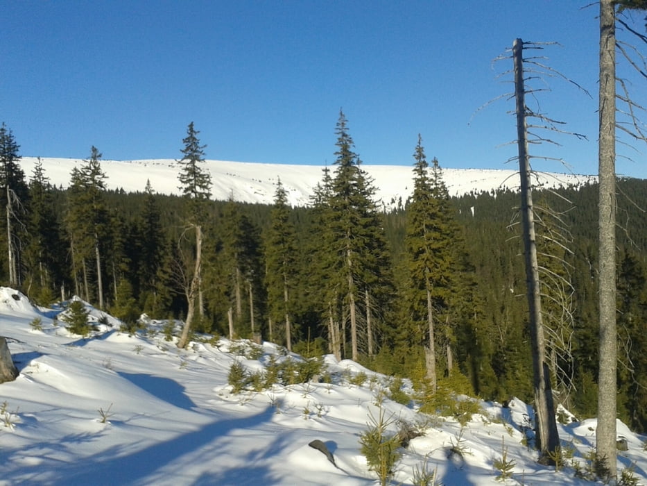
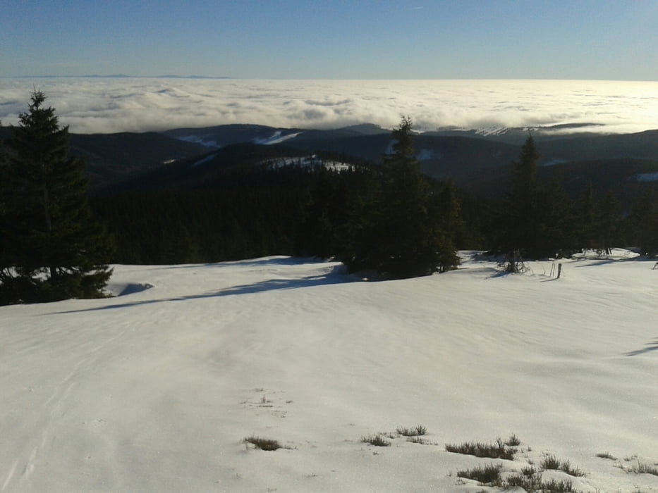
Pohodová trasa po lesní cestě. Mírný kopec až těstně pod hřebenem se to začíná zvedat. Pozor ať nenalezete moc vpravo, ve velkém kotli často hrozí laviny.

Tour gallery

Tour map and elevation profile

  • Open Street Map
  • Google
Minimum height 675 m Maximum height 1470 m Detailed view

More about the tour author

Miroski
Member since 2012

Send private message

Comments

Začátek je až na konci Karlova, za poslední černou sjezdovkou ještě asi 300 m dále. Potom do prava a jste na lesní cestě kudy to vede.

GPS tracks

Trackpoints
  • GPX / Garmin Map Source (gpx) download
  • TCX / Garmin Training Center® (tcx) download
  • CRS / Garmin Training Center® (crs) download
  • Google Earth (kml) download
  • G7ToWin (g7t) download
  • TTQV (trk) download
  • Overlay (ovl) download
  • Fugawi (txt) download
  • Kompass (DAV) Track (tk) download
  • Track data sheet (pdf) download
  • Original file of the author (gpx) download

More about the tour author

Miroski
Member since 2012

Send private message
Share track
Add to my favorites
Remove from my favorites
Edit tags
My score
Rate
Track: Vysoká Hole nad kotel z Karlova
Type: Ski touring
Distance: 12,8 km
Evaluated on:
Duration:
Day(s)
Hour(s)
Minute(s)
Score: Landscape Fun factor Fitness Technique