


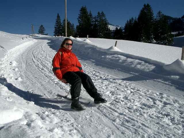
Start der Tour in Steibis beim Parkplatz der Imbergbahn. Vorbei an Steibis Festhalle gehen wir über den Fußweg zum Imberghaus. Weiter gehts nun über Hochbühl und Hörmoos zur Falkenhütte.Wir haben diese Tour als Kombitour Schneeschuh/Schlitten gemacht. Als "nur" Schneeschuhtour ist wegen der Länge die Berg+Talfahrt mit der Imbergbahn zu empfehlen. So reduziert sich die Tour um ca.250hm und 5 km.
In diesem Gebiet Hochhäderich-Falken-Imberg Hochgrat gibts zahlreiche Varianten und auch genügend Einkehrmöglichkeiten.
In diesem Gebiet Hochhäderich-Falken-Imberg Hochgrat gibts zahlreiche Varianten und auch genügend Einkehrmöglichkeiten.
Further information at
http://www.imbergbahn.deTour gallery
Tour map and elevation profile
Minimum height 904 m
Maximum height 1449 m
More about the tour author
|
|
Bockrider |
Comments

Alpenstrasse in Oberstaufen verlassen in Richtung Steibis/Hochgrat, Parkmöglichkeiten bei der Talstation Imbergbahn.
GPS tracks
Trackpoints-
GPX / Garmin Map Source (gpx) download
-
TCX / Garmin Training Center® (tcx) download
-
CRS / Garmin Training Center® (crs) download
-
Google Earth (kml) download
-
G7ToWin (g7t) download
-
TTQV (trk) download
-
Overlay (ovl) download
-
Fugawi (txt) download
-
Kompass (DAV) Track (tk) download
-
Track data sheet (pdf) download
-
Original file of the author (gpx) download
More about the tour author
|
|
Bockrider |
Add to my favorites
Remove from my favorites
Edit tags
Open track
My score
Rate