


Bädle (Innerlaterns)-Vordergarnitzaalpe-Hohe Matona-
Gävisalpe-Bädle
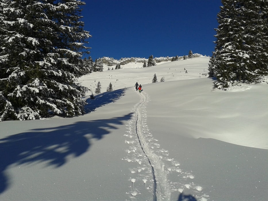
Traumwetter und -landschaft! Zur Gävisalpe hin noch mal leicht bergauf. Ich musste an diesem Tag nicht auffellen! Abwärts hat es derart angestöcklt,
dass ich während der Fahrt aus beiden Bindungen heraus einen Abgang gemacht hab.
Dann bergab durch den hüfthohen Schnee stapfen! Sehr anstrengend.
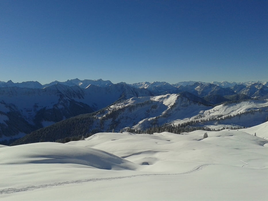
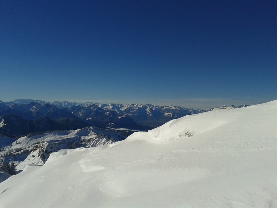
Tour gallery

Tour map and elevation profile
Minimum height 1135 m
Maximum height 1983 m
More about the tour author
|
|
mitter |
Comments

Start beim Bädle (nach der Tour gute Einkehrmöglichkeit).
GPS tracks
Trackpoints-
GPX / Garmin Map Source (gpx) download
-
TCX / Garmin Training Center® (tcx) download
-
CRS / Garmin Training Center® (crs) download
-
Google Earth (kml) download
-
G7ToWin (g7t) download
-
TTQV (trk) download
-
Overlay (ovl) download
-
Fugawi (txt) download
-
Kompass (DAV) Track (tk) download
-
Track data sheet (pdf) download
-
Original file of the author (gpx) download
More about the tour author
|
|
mitter |
Add to my favorites
Remove from my favorites
Edit tags
Open track
My score
Rate