Login

Forgot your login?

Cookies have to be accepted!
Your browser's cookie functionality is disabled. Please enable this functionality.

Not a member yet?

Register now
Login

Available for registred users only

Log in to use this feature.

Forgot your login?

Cookies have to be accepted!
Your browser's cookie functionality is disabled. Please enable this functionality.

Not a member yet?

Register now
Filter
Categories
Advanced filters
  • Distance (km)
  • Height
Save filters Reset filter

TrackRank

QRCode

Technical data

Distance28,8 km Height53 m Way down70 m Duration1 day 0 h Date03.01.2014
Scores Author Landscape Fun factor Fitness Technique

Statistics

529 Views Scores 12 Downloads Average
Rate
  • Track data sheet
  • Directions
  • Downloads
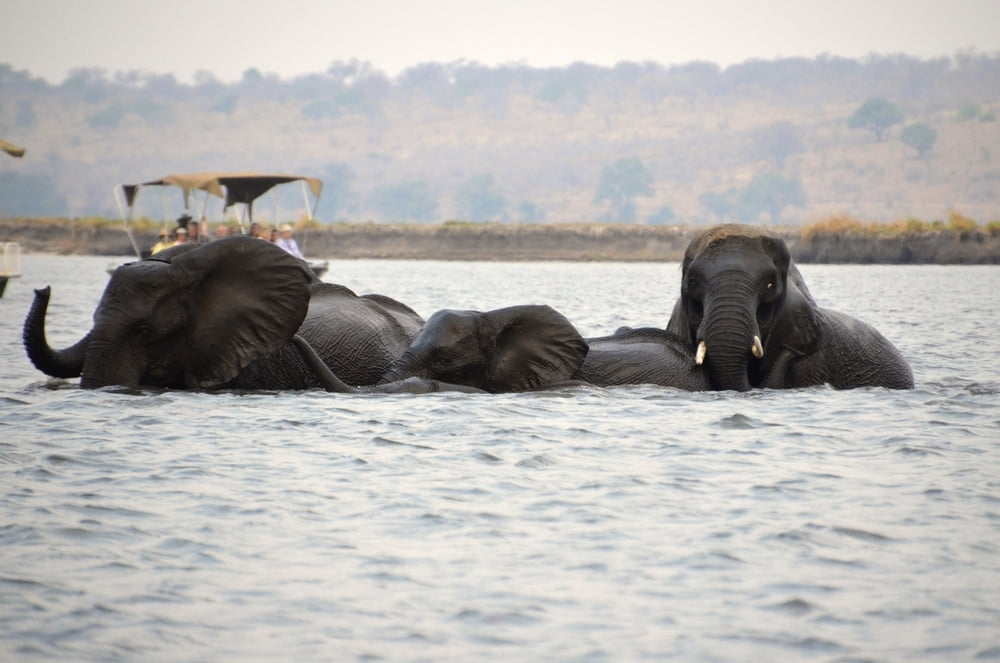
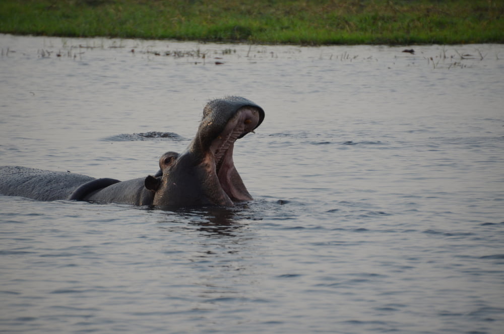
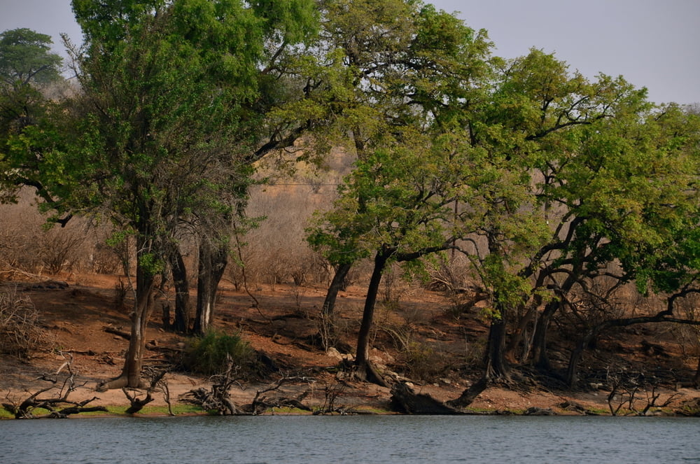
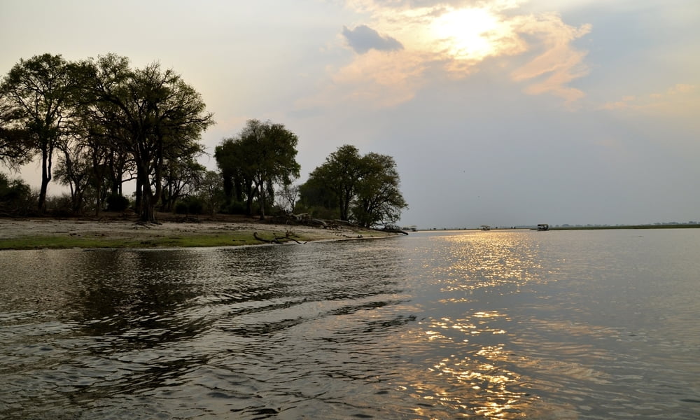
Von unserer "kubu Loge" (in Kasungula) aus ging es mit dem Auto nach Kasane wo wir in ein Boot umgestiegen sind.

Tour gallery

Tour map and elevation profile

  • Open Street Map
  • Google
Minimum height 914 m Maximum height 960 m Detailed view

More about the tour author

zoetteler
Member since 2011

Send private message

Comments

GPS tracks

Trackpoints
  • GPX / Garmin Map Source (gpx) download
  • TCX / Garmin Training Center® (tcx) download
  • CRS / Garmin Training Center® (crs) download
  • Google Earth (kml) download
  • G7ToWin (g7t) download
  • TTQV (trk) download
  • Overlay (ovl) download
  • Fugawi (txt) download
  • Kompass (DAV) Track (tk) download
  • Track data sheet (pdf) download
  • Original file of the author (gpx) download

More about the tour author

zoetteler
Member since 2011

Send private message
Share track
Add to my favorites
Remove from my favorites
Edit tags
My score
Rate
Track: Bootstour auf dem Chobe River
Type: Boat and canoe
Distance: 28,8 km
Evaluated on:
Duration:
Day(s)
Hour(s)
Minute(s)
Score: Landscape Fun factor Fitness Technique