


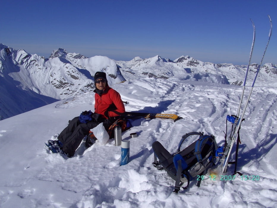
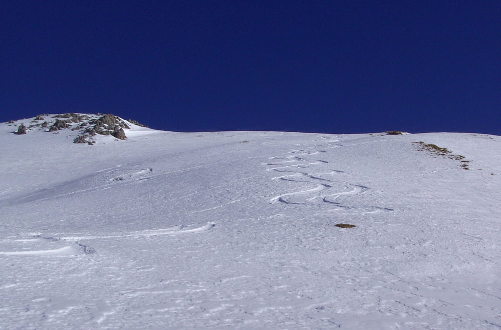
Skitour vom oberen Lechtal aus ins Bockbachtal. Vom Parkplatz zuerst westlich auf Forstweg zur Vorderbockbachalpe, dann südlich in das enge Bockbachtal. Bei etwa 1740 Hm nach Osten über schön kuppiertes Gelände über Vorgipfel und durch eine Senke zum Hauptgipfel. (Nur bei absolut sicheren Verhälnissen wegen der extrem steilen Hänge beidseitig des Bockbachtales) Bei der Abfahrt waren die Akkus leer.
Tour gallery
Tour map and elevation profile
Minimum height 1188 m
Maximum height 2399 m
More about the tour author
|
|
yr1willi |
Comments

Von Osten durch das Lechtal 2,6 km nach Steeg, Parkplatz auf der linken Seite. Von Westen über den Hochtannbergpass.
GPS tracks
Trackpoints-
GPX / Garmin Map Source (gpx) download
-
TCX / Garmin Training Center® (tcx) download
-
CRS / Garmin Training Center® (crs) download
-
Google Earth (kml) download
-
G7ToWin (g7t) download
-
TTQV (trk) download
-
Overlay (ovl) download
-
Fugawi (txt) download
-
Kompass (DAV) Track (tk) download
-
Track data sheet (pdf) download
-
Original file of the author (gpx) download
More about the tour author
|
|
yr1willi |
Add to my favorites
Remove from my favorites
Edit tags
Open track
My score
Rate