


13.1.2007
Interests:
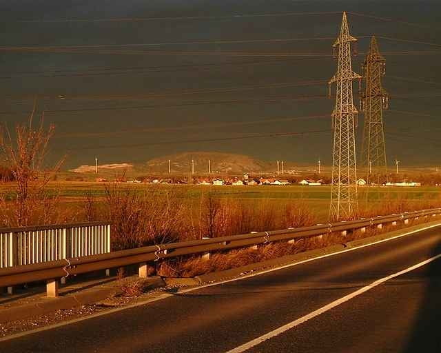
- windy power-plats (can be seen everywhere)
- spring in Sconabrunn
- Joseph Haydn birth-house in Rohrau
- castle Bethyany in Rohrau
- historical center and castle in Bruck an der Leitha
- world war monument in Bruckneudorf
- old estate in Wilfleinsdorf-Konigshof
In the evening (17:30) was sunset, which we have never seen befor. It was seen mostly near Bruck an der Leitha. Red sky from sunset combinated with black clouds. It was fantastic.
Interests:
- windy power-plats (can be seen everywhere)
- spring in Sconabrunn
- Joseph Haydn birth-house in Rohrau
- castle Bethyany in Rohrau
- historical center and castle in Bruck an der Leitha
- world war monument in Bruckneudorf
- old estate in Wilfleinsdorf-Konigshof
In the evening (17:30) was sunset, which we have never seen befor. It was seen mostly near Bruck an der Leitha. Red sky from sunset combinated with black clouds. It was fantastic.
Tour gallery
Tour map and elevation profile
Minimum height 124 m
Maximum height 208 m
More about the tour author
|
|
tmax |
Comments

From Bratislava through Berg, Edelstal, Prellenkirchen, Schonabrunn, Hollern, Rohrau, Gerhaus, Pachfurth to Bruck an der Leitha (against wind from Berg). Then accross river Leitha to Bruckneudorf through TUPL to Wilfleinsdorf, along Leithakanal back to Bruck and the same way back. 97% tarmac, 3% field roads
GPS tracks
Trackpoints-
GPX / Garmin Map Source (gpx) download
-
TCX / Garmin Training Center® (tcx) download
-
CRS / Garmin Training Center® (crs) download
-
Google Earth (kml) download
-
G7ToWin (g7t) download
-
TTQV (trk) download
-
Overlay (ovl) download
-
Fugawi (txt) download
-
Kompass (DAV) Track (tk) download
-
Track data sheet (pdf) download
-
Original file of the author (g7t) download
More about the tour author
|
|
tmax |
Add to my favorites
Remove from my favorites
Edit tags
Open track
My score
Rate