
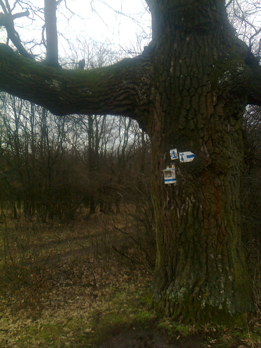

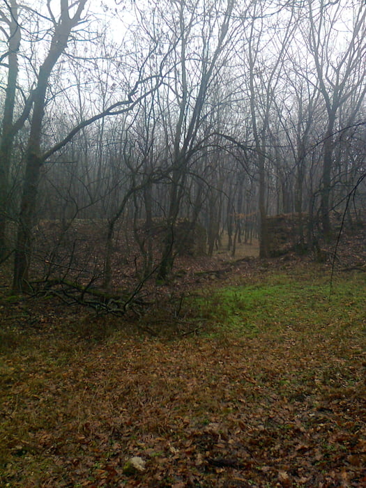
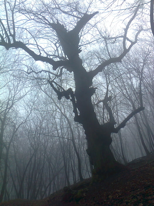
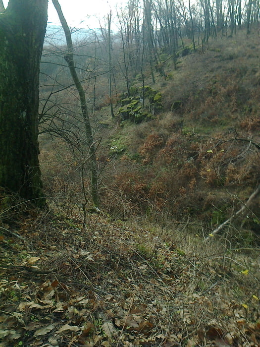
Reggel Tardosról indulva ismét visszakapaszkodtunk a Bányahegyre.Este szakadt az eső,a talaj így kellően csúszóssá vált,persze ragadt is a sár a bakancsra rendessen.A Bányaheg-Gerecse üdülő-Pusztamarót szakaszokat viszonylag hamar lenyomtuk,Péliföldszentkereszt már fárasztóbb volt a sár miatt.Itt ittunk egy jót a Szent-kút vizéből.Az Öreg-kő megnézésére most nem fordítottunk időt,egyből indultunk Mogyorósbánya felé,ahol buszra szálltunk.
Tour gallery
Tour map and elevation profile
Minimum height 175 m
Maximum height 528 m
More about the tour author
|
|
frontera74 |
Comments

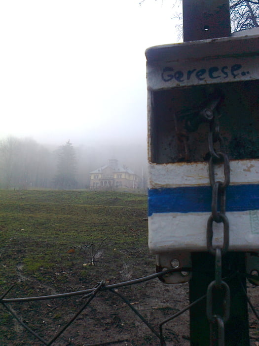
Tardoson a Kemencés fogadóban aludtunk,igen jó hely.Amúgy Tatabánya felől busszal viszonylag jól megközelíthető.Mogyorósbánya szintén busszal elérhető falu.
GPS tracks
Trackpoints-
GPX / Garmin Map Source (gpx) download
-
TCX / Garmin Training Center® (tcx) download
-
CRS / Garmin Training Center® (crs) download
-
Google Earth (kml) download
-
G7ToWin (g7t) download
-
TTQV (trk) download
-
Overlay (ovl) download
-
Fugawi (txt) download
-
Kompass (DAV) Track (tk) download
-
Track data sheet (pdf) download
-
Original file of the author (gpx) download
More about the tour author
|
|
frontera74 |
Add to my favorites
Remove from my favorites
Edit tags
Open track
My score
Rate