

Aufstieg: 3 Stunden
Abfahrt:35 min.
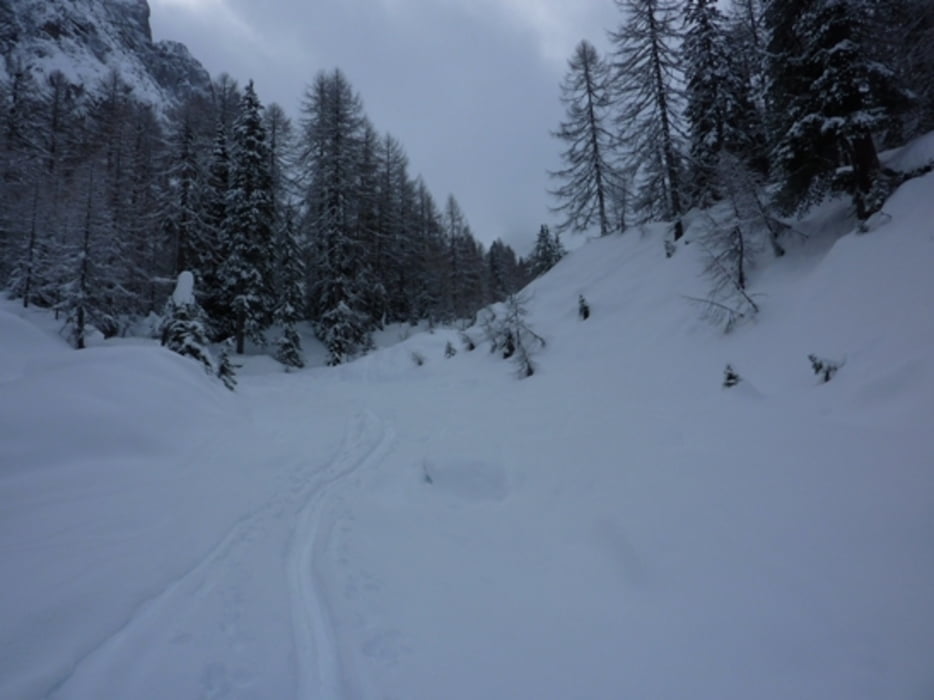
Ausgangsort ist der Kreithof von dort zur Dolomitenhütte.
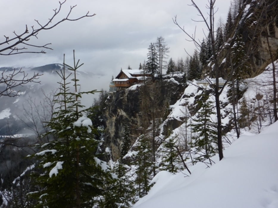
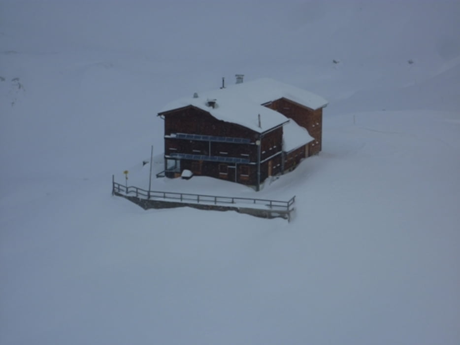
Zunächst weiter über einen flachen Weg bis man die Insteinalm erreicht. Danach geht es über leicht bewaldetes Gebiet hoch zum Marcher Stein. Hier kann man das erste Mal das Tourenziel Karlsbaderhütte sehen. Zunächst flach, dann über einen mäßig steilen Schlussanstieg, erreicht man schlussendlich die Karlsbaderhütte.
Abfahrt:
Wie Aufstieg.
Further information at
http://www.tourenfex.at/skitouren/karlsbaderhuette/index.phpTour gallery
Tour map and elevation profile
Minimum height 1126 m
Maximum height 2397 m
More about the tour author
|
|
harald07071 |
Comments

Lienz - Tristach - Kreithof
GPS tracks
Trackpoints-
GPX / Garmin Map Source (gpx) download
-
TCX / Garmin Training Center® (tcx) download
-
CRS / Garmin Training Center® (crs) download
-
Google Earth (kml) download
-
G7ToWin (g7t) download
-
TTQV (trk) download
-
Overlay (ovl) download
-
Fugawi (txt) download
-
Kompass (DAV) Track (tk) download
-
Track data sheet (pdf) download
-
Original file of the author (gpx) download
More about the tour author
|
|
harald07071 |
Add to my favorites
Remove from my favorites
Edit tags
Open track
My score
Rate