


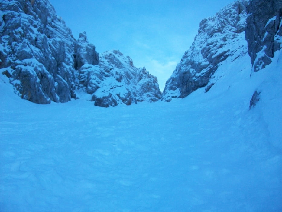
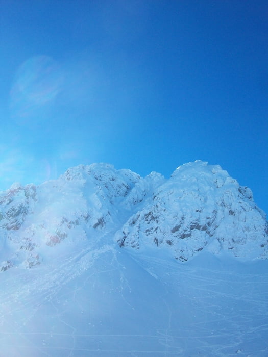
Vom Bodenbauer aus ins Vertatscha Kar richtung Bielschitzasattel. nach Ende der Bäume links halten, dem Kar entlang bis zum Einstieg in die Pauzrinne. Helm, Steigeisen und eventuell Pickel nicht vergessen. Hinauf bis zum Sattel. Dort weiter nach rechts bis zum Einstieg in die Y-Rinne zum Vertatscha Gipfel.
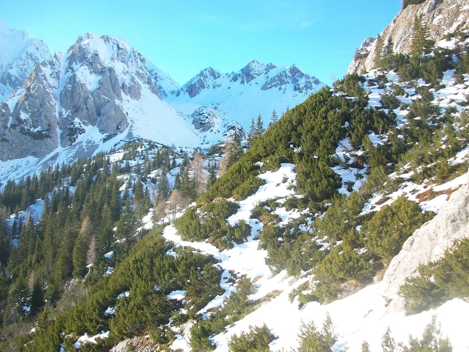
Rückfahrt wie Aufstieg oder über die slowenische Seite retour. zu erst einmal Richtung Hochstuhl (Stohl) und nach ca. 5 km rechts, Richtung Bielschitzasattel. Dort Abfahren.
Tour gallery
Tour map and elevation profile
Minimum height 1059 m
Maximum height 2182 m
More about the tour author

|
psmertni |
Comments

GPS tracks
Trackpoints-
GPX / Garmin Map Source (gpx) download
-
TCX / Garmin Training Center® (tcx) download
-
CRS / Garmin Training Center® (crs) download
-
Google Earth (kml) download
-
G7ToWin (g7t) download
-
TTQV (trk) download
-
Overlay (ovl) download
-
Fugawi (txt) download
-
Kompass (DAV) Track (tk) download
-
Track data sheet (pdf) download
-
Original file of the author (gpx) download
More about the tour author
|
|
psmertni |
Add to my favorites
Remove from my favorites
Edit tags
Open track
My score
Rate