


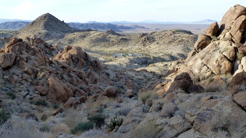
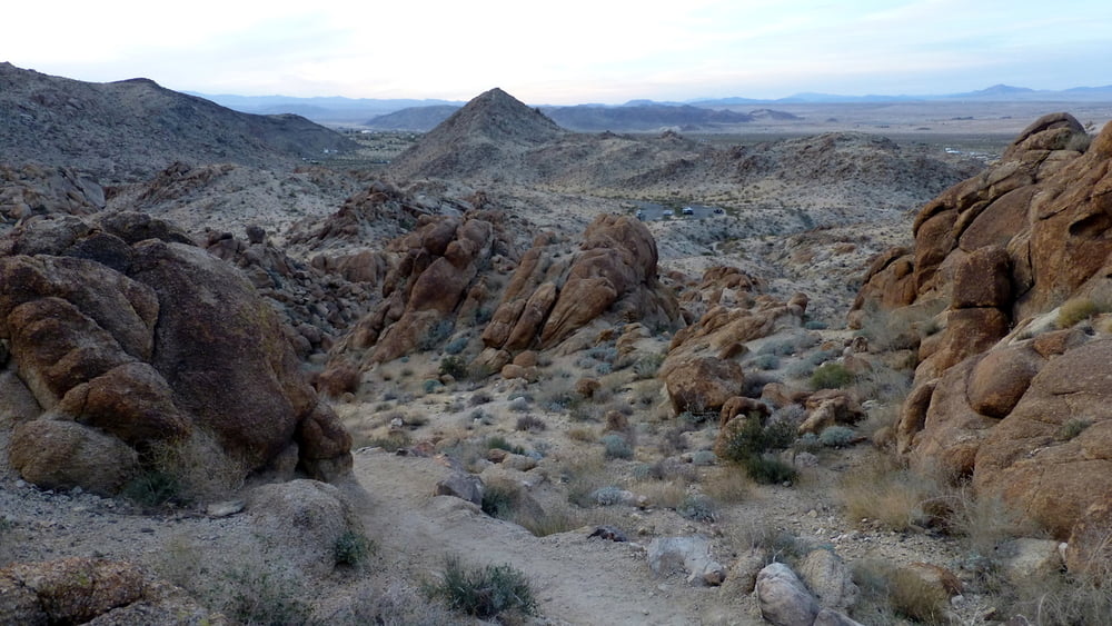
Diese kleine Wanderung kann man ohne große Anfahrt direkt von 29 Palms machen.
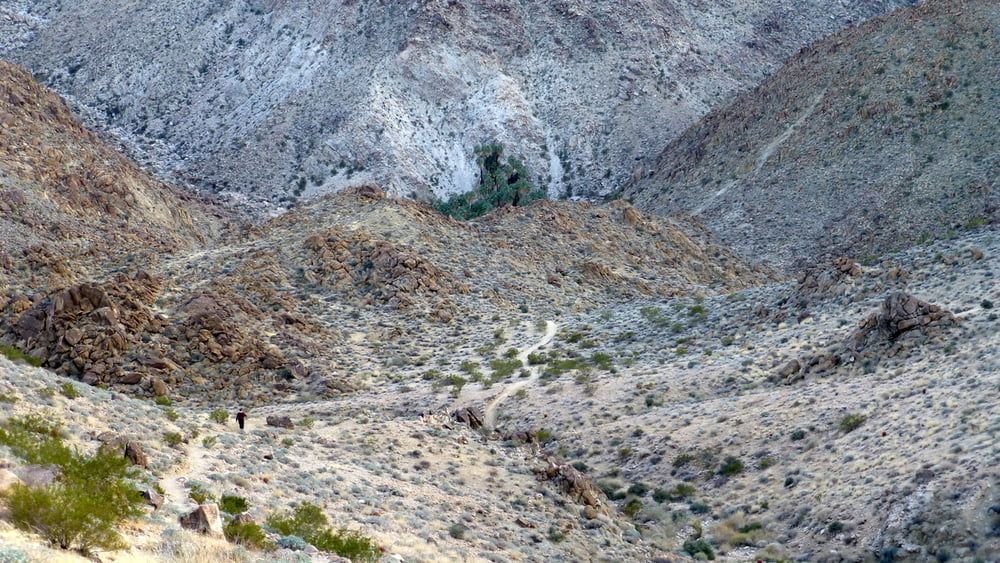
Wir haben die Tour am späten Nachmittag gemacht. Um nicht auf dem Rückweg in die Dunkelheit zu kommen, haben wir uns etwas beeilt. Insbesondere der Besuch der Palmoase ist dadurch etwas zu kurz gekommen. So haben wir nicht überprüft, ob es wirklich 49 Palmen sind ;-). Eine halbe Stunde mehr wäre besser.
Further information at
http://www.nps.gov/jotr/planyourvisit/htrails.htmTour gallery
Tour map and elevation profile
Minimum height 869 m
Maximum height 978 m
More about the tour author
|
|
ds5 |
Comments

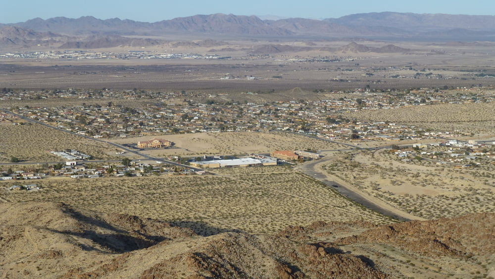
Joshua Tree National Park lies 140 miles east of Los Angeles, 175 miles northeast of San Diego, and 215 miles southwest of Las Vegas. You can approach it from Interstate 10 and Hwy 62 (Twentynine Palms Highway). The closest airport is in Palm Springs. Public transportation to the park is not available.
Der Startpunkt der Tour erreicht man am Besten von 29 Palms aus. Vom Hwy 62 biegen wir nach Süden auf die Canyon Road ab. Der Trailhead ist am Parkplatz am Ende der Straße.
GPS tracks
Trackpoints-
GPX / Garmin Map Source (gpx) download
-
TCX / Garmin Training Center® (tcx) download
-
CRS / Garmin Training Center® (crs) download
-
Google Earth (kml) download
-
G7ToWin (g7t) download
-
TTQV (trk) download
-
Overlay (ovl) download
-
Fugawi (txt) download
-
Kompass (DAV) Track (tk) download
-
Track data sheet (pdf) download
-
Original file of the author (gpx) download
More about the tour author
|
|
ds5 |
Add to my favorites
Remove from my favorites
Edit tags
Open track
My score
Rate