Login

Forgot your login?

Cookies have to be accepted!
Your browser's cookie functionality is disabled. Please enable this functionality.

Not a member yet?

Register now
Login

Available for registred users only

Log in to use this feature.

Forgot your login?

Cookies have to be accepted!
Your browser's cookie functionality is disabled. Please enable this functionality.

Not a member yet?

Register now
Filter
Categories
Advanced filters
  • Distance (km)
  • Height
Save filters Reset filter

TrackRank

QRCode

Technical data

Distance124,3 km Height331 m Way down288 m Duration1 day 0 h Date29.01.2014
Scores Author Landscape Fun factor Fitness Technique

Statistics

100 Views Scores 6 Downloads Average
Rate
  • Track data sheet
  • Directions
  • Downloads

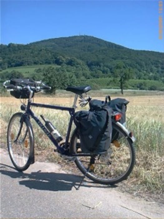
Das war die 1. von 6 Etappen von unserer Herren-Tour 2011.

Wir sind Ü-50 und teilweise etwas mehr. Die Unterkünfte waren alle sehr gut und könne somit weiter empfohlen werden.

.

Further information at

http://www.biketripps.de/

Tour map and elevation profile

  • Open Street Map
  • Google
Minimum height 99 m Maximum height 211 m Detailed view

More about the tour author

JN
Member since 2009

Send private message

Comments

GPS tracks

Trackpoints
  • GPX / Garmin Map Source (gpx) download
  • TCX / Garmin Training Center® (tcx) download
  • CRS / Garmin Training Center® (crs) download
  • Google Earth (kml) download
  • G7ToWin (g7t) download
  • TTQV (trk) download
  • Overlay (ovl) download
  • Fugawi (txt) download
  • Kompass (DAV) Track (tk) download
  • Track data sheet (pdf) download
  • Original file of the author (gpx) download

More about the tour author

JN
Member since 2009

Send private message
Share track
Add to my favorites
Remove from my favorites
Edit tags
My score
Rate
Track: 2011 1/6 Zwingenberg / Baden-Baden / Freiburg / Colmar / Zwingenberg
Type: Trekkingbike
Distance: 124,3 km
Evaluated on:
Duration:
Day(s)
Hour(s)
Minute(s)
Score: Landscape Fun factor Fitness Technique