


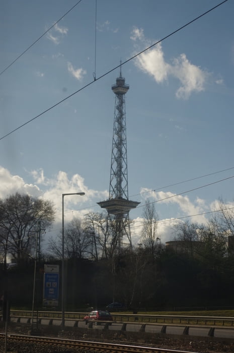
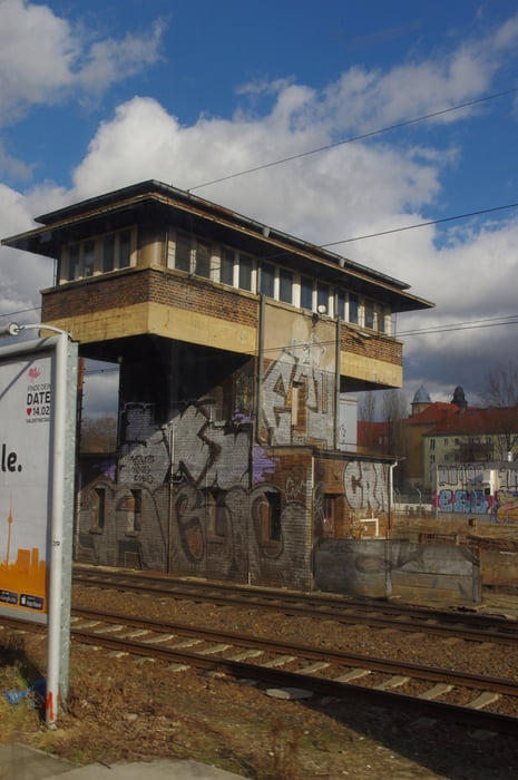
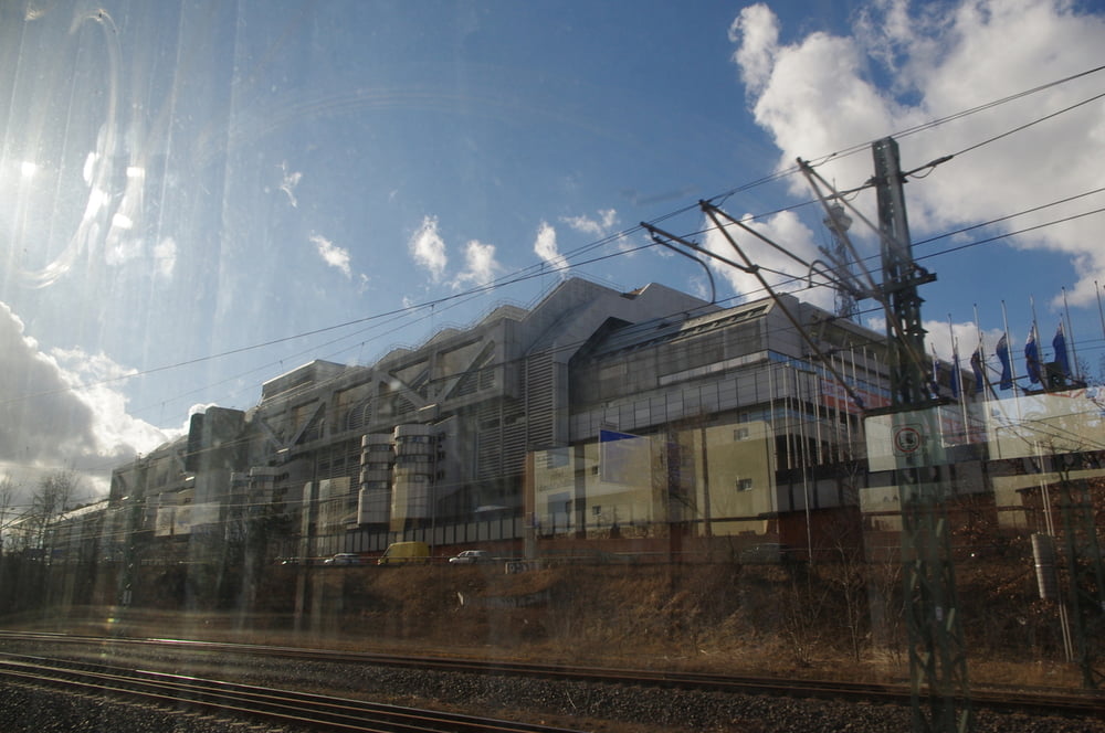
Wir erkunden Berlin zu Fuß und Bahn.
Wir wanderten von Lankwitz am Schöneberger Südgelände entlang zum Bahnhof Südkreuz.
Hier begannen wir unsere S-Bahn Runde links herum. Das dauert gerade so lange wie ein Minutenzeiger einmal um das Ziffernblatt braucht. Es lohnt sich.
Zu Fuß wanderten wir wieder auf teilweise anderen Wegen zum Ausgangspunkt zurück.
Hat Spass gemacht.
Further information at
https://de.wikipedia.org/wiki/S-Bahn_BerlinTour gallery
Tour map and elevation profile
Minimum height 31 m
Maximum height 57 m
More about the tour author
|
|
Pheinz |
Comments

Zustieg an beliebiger Stelle.
GPS tracks
Trackpoints-
GPX / Garmin Map Source (gpx) download
-
TCX / Garmin Training Center® (tcx) download
-
CRS / Garmin Training Center® (crs) download
-
Google Earth (kml) download
-
G7ToWin (g7t) download
-
TTQV (trk) download
-
Overlay (ovl) download
-
Fugawi (txt) download
-
Kompass (DAV) Track (tk) download
-
Track data sheet (pdf) download
-
Original file of the author (gpx) download
More about the tour author
|
|
Pheinz |
Add to my favorites
Remove from my favorites
Edit tags
Open track
My score
Rate