


Startpunkt am kostenlosen Parkplatz Alte Klause (Kühtai).
Lohnende Tour, bei der Kondition nicht fehlen sollte. Zum Schluss etwas steiler, aber für den erfahrenen Schneeschuhgeher machbar.
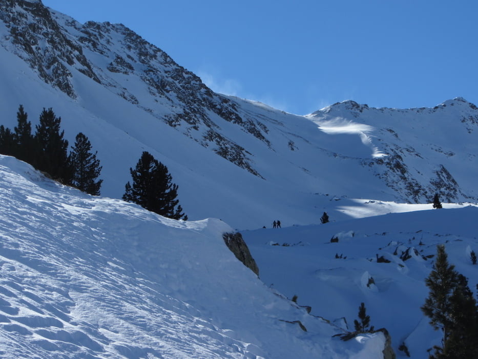
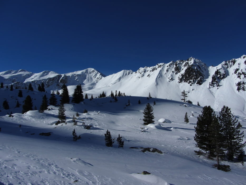
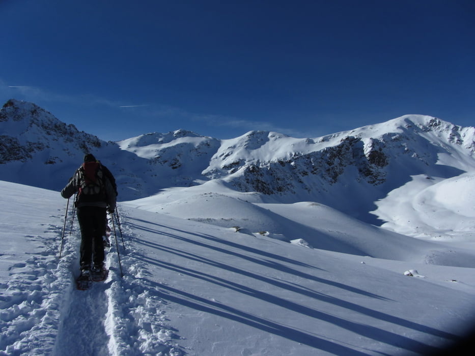
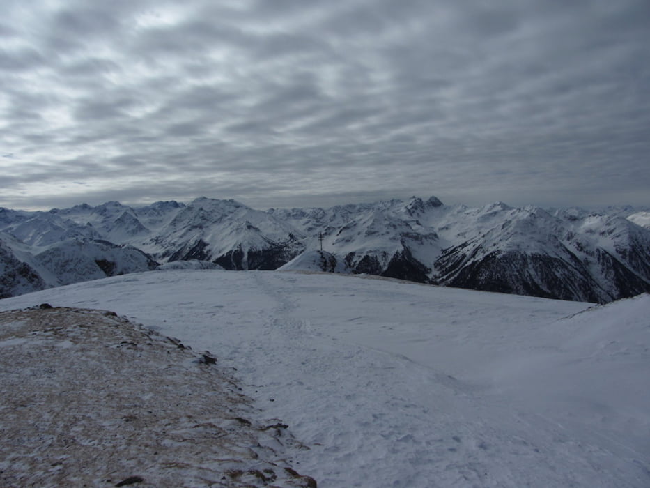
Tour gallery
Tour map and elevation profile
Minimum height 1718 m
Maximum height 2590 m
More about the tour author
|
|
Edelweischen |
Comments

GPS tracks
Trackpoints-
GPX / Garmin Map Source (gpx) download
-
TCX / Garmin Training Center® (tcx) download
-
CRS / Garmin Training Center® (crs) download
-
Google Earth (kml) download
-
G7ToWin (g7t) download
-
TTQV (trk) download
-
Overlay (ovl) download
-
Fugawi (txt) download
-
Kompass (DAV) Track (tk) download
-
Track data sheet (pdf) download
-
Original file of the author (gpx) download
More about the tour author
|
|
Edelweischen |
Add to my favorites
Remove from my favorites
Edit tags
Open track
My score
Rate