


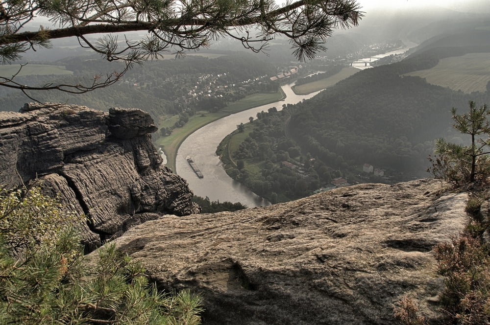
Unterhalb des Bahnhofes erfolgt die Fährüberfahrt zum anderen Elbufer. Auf der Strasse gehen wir ein Stück nach links, um gleich danach rechts abzubiegen. Bergauf erreichen wir die Ebenheit, und haben das Ziel, den Lilienstein direkt vor uns. Über den Südaufstieg gelangen wir auf das Plateau.
Nach dem wir die herrliche Aussicht genossen haben, erfolgt der Abstieg auf der Nordseite. Zurück gehen wir in Richtung Rathen. Kurz vor Erreichen der Elbe, gehen wir auf dem Uferweg zurück zur Fähre nach Königstein.
Tour gallery


Tour map and elevation profile
Minimum height 112 m
Maximum height 475 m
More about the tour author
|
|
Empe53 |
Comments

mit der S-Bahn ab Dresden
GPS tracks
Trackpoints-
GPX / Garmin Map Source (gpx) download
-
TCX / Garmin Training Center® (tcx) download
-
CRS / Garmin Training Center® (crs) download
-
Google Earth (kml) download
-
G7ToWin (g7t) download
-
TTQV (trk) download
-
Overlay (ovl) download
-
Fugawi (txt) download
-
Kompass (DAV) Track (tk) download
-
Track data sheet (pdf) download
-
Original file of the author (gpx) download
More about the tour author
|
|
Empe53 |
Add to my favorites
Remove from my favorites
Edit tags
Open track
My score
Rate