


Schneeschuh Schnuppertour mit Ausblicken auf Feldberg, Hochfirst und Schweizer Alpen. Für Kinder gibts die Möglichkeit beim Haberjockelshof zu Rodeln oder sich auf der Snowtubingbahn auszutoben.
Further information at
http://www.schwarzwaldgaudi.deTour gallery
Tour map and elevation profile
Minimum height 974 m
Maximum height 1172 m
More about the tour author
|
|
Bockrider |
Comments

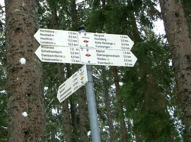
B 31 Abfahrt Titisee-Neustadt Mitte, Richtung Eisenbach. Nach 6 km (Passhöhe) links Richtung Schwärzenbach und Schollach. Parkmöglichkeit beim Haberjockelshof in Täle
GPS tracks
Trackpoints-
GPX / Garmin Map Source (gpx) download
-
TCX / Garmin Training Center® (tcx) download
-
CRS / Garmin Training Center® (crs) download
-
Google Earth (kml) download
-
G7ToWin (g7t) download
-
TTQV (trk) download
-
Overlay (ovl) download
-
Fugawi (txt) download
-
Kompass (DAV) Track (tk) download
-
Track data sheet (pdf) download
-
Original file of the author (gpx) download
More about the tour author
|
|
Bockrider |
Add to my favorites
Remove from my favorites
Edit tags
Open track
My score
Rate