

Meijendel - 13 km
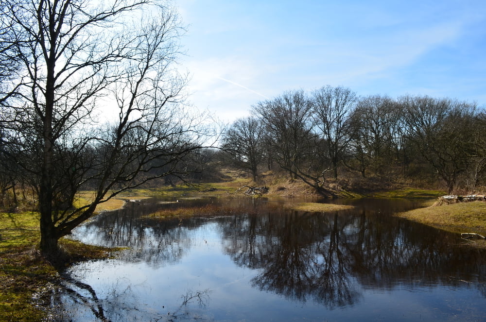
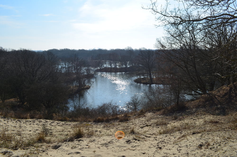
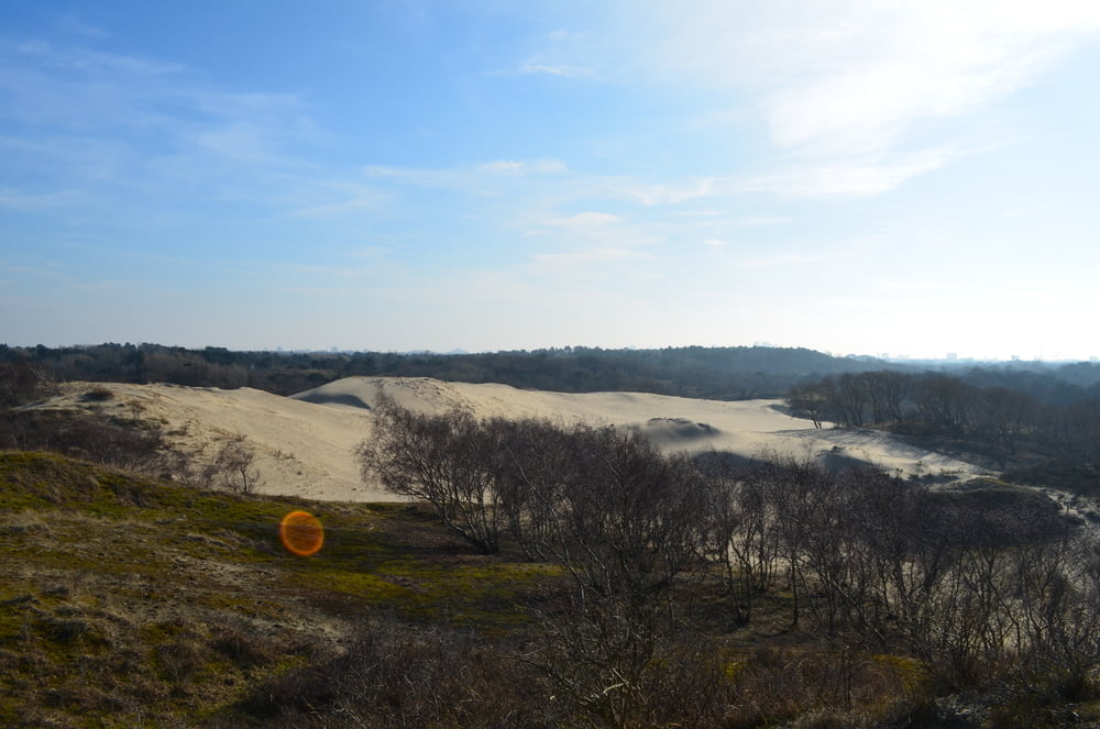
The hike starts on the parking near the Meijendel visitor center. The first 2 km can be busy since the natural reserve area around the visitor center is quite popular on sunny days. After having passed a gate towards the quieter area of the park, where one is supposed to have an entry ticket that should have been purchased at the visitor center, the hike leads through constantly changing, beautiful landscape. Most of the hike consists of unpaved (single) trails.
Tour gallery
Tour map and elevation profile
Minimum height -11 m
Maximum height 22 m
More about the tour author
|
|
blobic |
Comments

GPS tracks
Trackpoints-
GPX / Garmin Map Source (gpx) download
-
TCX / Garmin Training Center® (tcx) download
-
CRS / Garmin Training Center® (crs) download
-
Google Earth (kml) download
-
G7ToWin (g7t) download
-
TTQV (trk) download
-
Overlay (ovl) download
-
Fugawi (txt) download
-
Kompass (DAV) Track (tk) download
-
Track data sheet (pdf) download
-
Original file of the author (gpx) download
More about the tour author
|
|
blobic |
Add to my favorites
Remove from my favorites
Edit tags
Open track
My score
Rate