
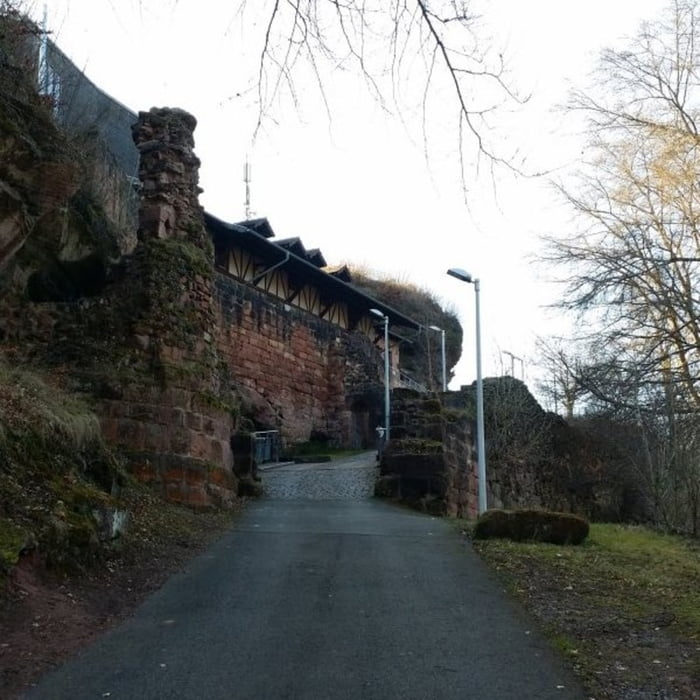

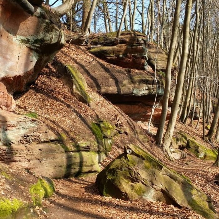
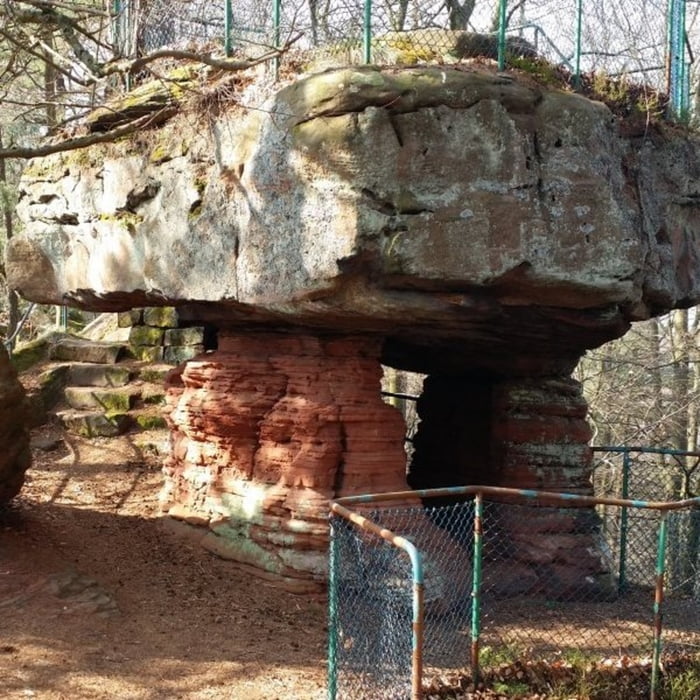
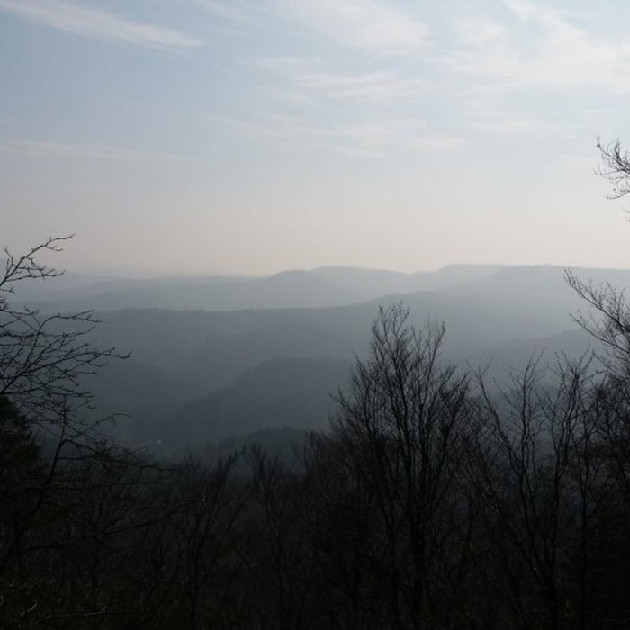
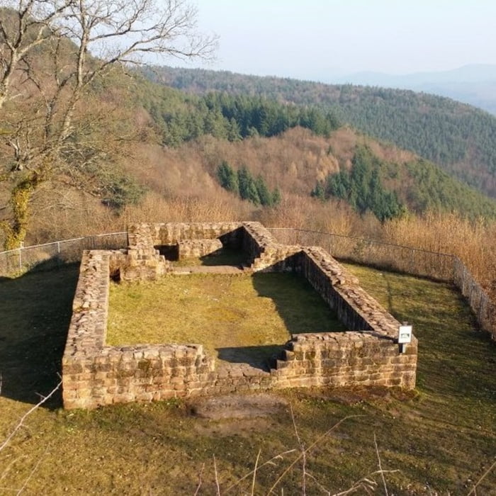
Startpunkt der Tour ist ein kleiner Parkplatz unterhalb der Burgschänke. Vom Parkplatz führt die Wanderung zunächst ein Stück durch Lembach und verläuft anschließend auf einem kleinen Weg durch einen Vogel-Lehrpfad, der die Nistplätze heimischer Vögel zeigt. Der Streckenabschnitt hoch zum Maiblumensfels steigt leicht an, immer wieder kommt man dabei an Buntsandstein Felsen vorbei. Am östlichen Ende des Maiblumenfelsen hat man einen schönen Ausblick über den Pfälzer Wald. Der Weg zurück zur Ruine Lemberg führt um den Ruppertstein herum, auch in diesem Abschnitt befinden sich vielen Buntsandstein Felsen und Höhlen.
Tour gallery
Tour map and elevation profile
Minimum height 297 m
Maximum height 480 m
More about the tour author

|
isg13 |
Comments

GPS tracks
Trackpoints-
GPX / Garmin Map Source (gpx) download
-
TCX / Garmin Training Center® (tcx) download
-
CRS / Garmin Training Center® (crs) download
-
Google Earth (kml) download
-
G7ToWin (g7t) download
-
TTQV (trk) download
-
Overlay (ovl) download
-
Fugawi (txt) download
-
Kompass (DAV) Track (tk) download
-
Track data sheet (pdf) download
-
Original file of the author (gpx) download
More about the tour author
|
|
isg13 |
Add to my favorites
Remove from my favorites
Edit tags
Open track
My score
Rate