


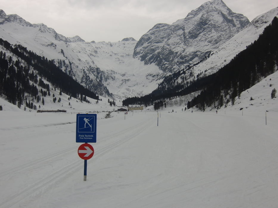
Nachdem das mit dem Schnee dieses Jahr nicht so recht werden will sind wir nochmal nach Lüsens gefahren. Irgendwie ists immer wie eine Zeitreise in eine andere Jahreszeit. Im Inntal noch grün und plötzlich ists weiß und Winter.
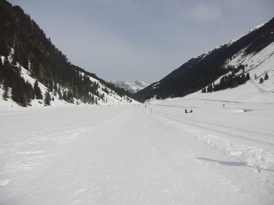
Die Auswahl an Loipen ist nicht so groß, aber für einen Tag ausreichend und die Kulisse ist fantastisch. Die Loipen waren räpariert und damit alles super.
Leider hatten wir keinen Sonnenschein, aber insgesamt doch ein toller Langlauftag.
Further information at
http://www.sellraintal.at/winter-sommer-sellraintal/winterurlaub/langlaufen/liste-loipen.htmlTour gallery
Tour map and elevation profile
Minimum height 1587 m
Maximum height 1729 m
More about the tour author

|
smartandem |
Comments

Über die A96 bis Garmisch, dann weiter über Mittenwald, Scharnitz und Zirler Berg hinunter ins Inntal. Dort gehts rüber ins Sellraintal und die ganzen Höhenmeter hoch nach Lüsens. Ab Gries ist die Straße relativ schmal und am Schluß mit mehreren Serpentienen. Mit dem Bus eine Herausforderung. Lüsens ist immerhin 1634 Meter hoch.
Parkplatz gibts am Gasthof - Gebührenpflichtig (weiß aber nicht wie teuer, da wir mit dem Bus dort waren).
GPS tracks
Trackpoints-
GPX / Garmin Map Source (gpx) download
-
TCX / Garmin Training Center® (tcx) download
-
CRS / Garmin Training Center® (crs) download
-
Google Earth (kml) download
-
G7ToWin (g7t) download
-
TTQV (trk) download
-
Overlay (ovl) download
-
Fugawi (txt) download
-
Kompass (DAV) Track (tk) download
-
Track data sheet (pdf) download
-
Original file of the author (gpx) download
More about the tour author
|
|
smartandem |
Add to my favorites
Remove from my favorites
Edit tags
Open track
My score
Rate