


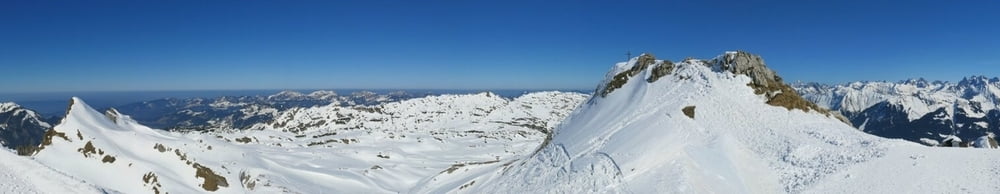
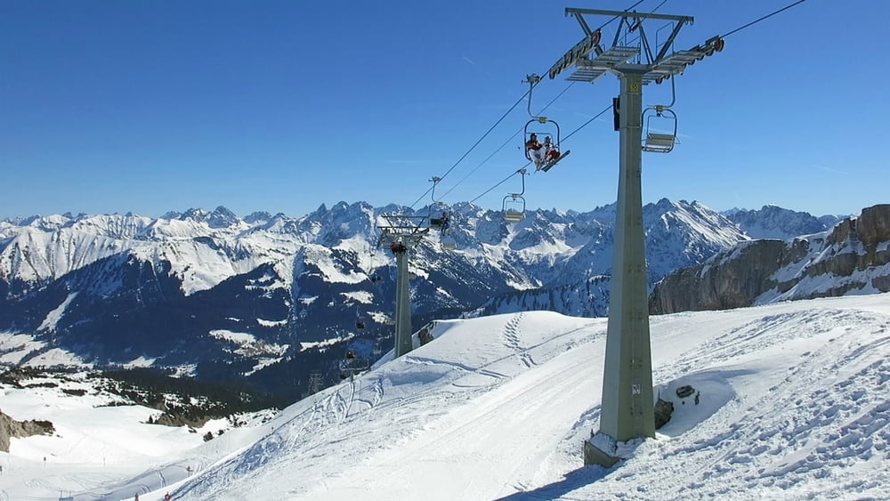
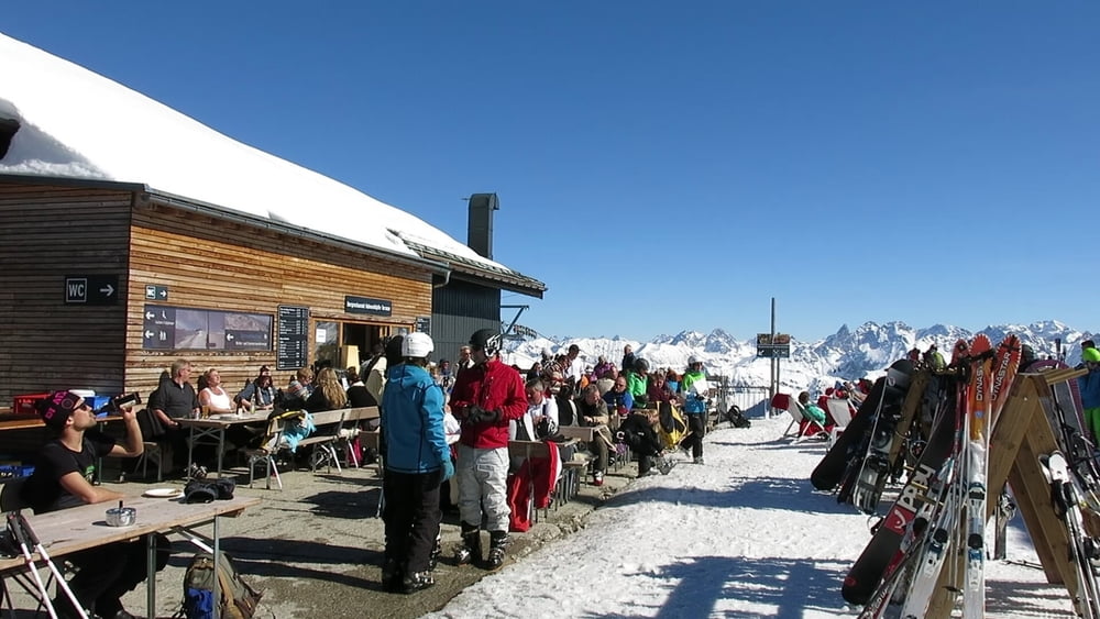
Mit dem Sessellift bei strahlendem Sonnenschein von der Auenhütte zur Bergstation "Bergadler". Hier beginnt ein phantastischer Panoramaweg am "Gottesacker"- Plateau. Lohnenswet ein kleiner Abstecher auf das "Hahnenköpfle".
PS: Mein Smartphone hat gestreikt, habe deshalb nicht alle GPS- Daten- und auch Bilder fehlen! Trotzdem traumhaft :-)
Der kleine Rundweg beträgt 3km, der größere 5km. Der Abstecher zum Hahnenkpfle ca. 800m
Tour gallery

Tour map and elevation profile
Minimum height 1960 m
Maximum height 2067 m
More about the tour author
|
|
heinz-57 |
Comments

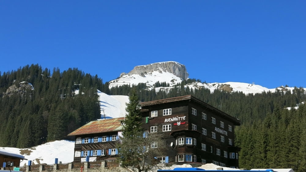
Von Rietzlern Richtung Hirschegg geht es nach der Breitachbrücke rechts ab, gleich links Sträßchen der Beschilderung "Hoher Ifen" folgend zum Parkplatz an der Auenhütte..
GPS tracks
Trackpoints-
GPX / Garmin Map Source (gpx) download
-
TCX / Garmin Training Center® (tcx) download
-
CRS / Garmin Training Center® (crs) download
-
Google Earth (kml) download
-
G7ToWin (g7t) download
-
TTQV (trk) download
-
Overlay (ovl) download
-
Fugawi (txt) download
-
Kompass (DAV) Track (tk) download
-
Track data sheet (pdf) download
-
Original file of the author (gpx) download
More about the tour author
|
|
heinz-57 |
Add to my favorites
Remove from my favorites
Edit tags
Open track
My score
Rate