


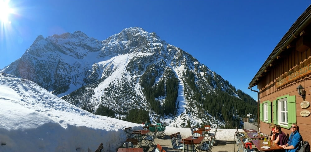
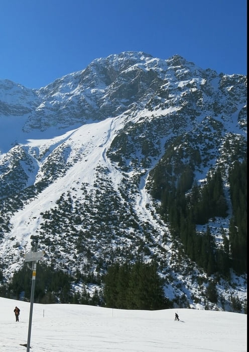
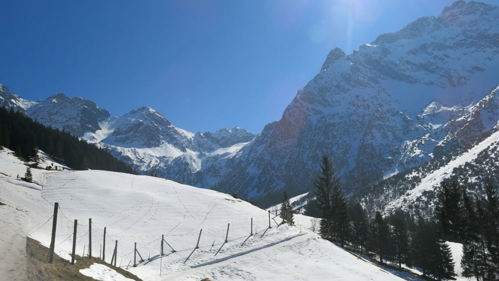
Vom Parkplatz auf dem Sträßchen nach Süden, an Parkstreifen am Waldrand mit Infotafel scharf links ab ins Wildental. Auf Fahrweg weiter, kurz durch Wald und über Plateau zur Inneren Wiesalpe mit schöner Einkehr am imposanten Talschluß. Abstieg von Hütte nach rechts zurück zum Ortsteil "Höfle" und nach links zum Parkplatz.
Tour gallery

Tour map and elevation profile
Minimum height 1123 m
Maximum height 1312 m
More about the tour author
|
|
heinz-57 |
Comments

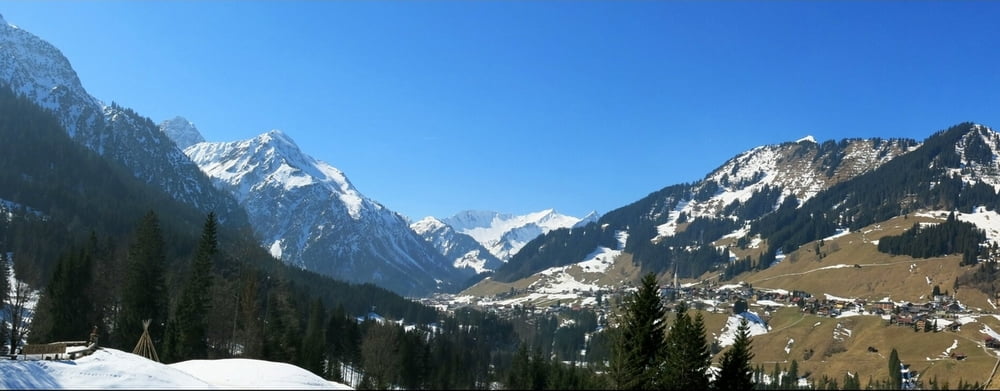
Gegen Ortsende von Mittelberg dem Wegweiser "Wildental" nach links folgend zum Ortteil "Höfle" der Gemeinde Hirschegg. An Hotel Parkmöglichkeit.
GPS tracks
Trackpoints-
GPX / Garmin Map Source (gpx) download
-
TCX / Garmin Training Center® (tcx) download
-
CRS / Garmin Training Center® (crs) download
-
Google Earth (kml) download
-
G7ToWin (g7t) download
-
TTQV (trk) download
-
Overlay (ovl) download
-
Fugawi (txt) download
-
Kompass (DAV) Track (tk) download
-
Track data sheet (pdf) download
-
Original file of the author (gpx) download
More about the tour author
|
|
heinz-57 |
Add to my favorites
Remove from my favorites
Edit tags
Open track
My score
Rate