Login

Forgot your login?

Cookies have to be accepted!
Your browser's cookie functionality is disabled. Please enable this functionality.

Not a member yet?

Register now
Login

Available for registred users only

Log in to use this feature.

Forgot your login?

Cookies have to be accepted!
Your browser's cookie functionality is disabled. Please enable this functionality.

Not a member yet?

Register now
Filter
Categories
Advanced filters
  • Distance (km)
  • Height
Save filters Reset filter

TrackRank

QRCode

Technical data

Distance17,9 km Height585 m Way down589 m Duration02:00 h:m Date20.03.2014
Scores Author User Landscape Fun factor Fitness Technique

Statistics

204 Views 1 Score 21 Downloads 3.00 Average
Rate
  • Track data sheet
  • Directions
  • Downloads

Start der Tour ist in Gaaden beim Friedhof.

Über Forststraßen und Wanderwege geht es Richtung Siegenfeld, Jugendbrunnen und Einöde.

(die letzten 50m zum Brunnen sind steil und felsig, eventuell tragen/schieben)

Von der Einöde über Wanderwege hinauf auf den Anninger zur Wilhelmswarte, Schutzhaus vorbei

an der Jubiläumswarte zurück nach Gaaden.
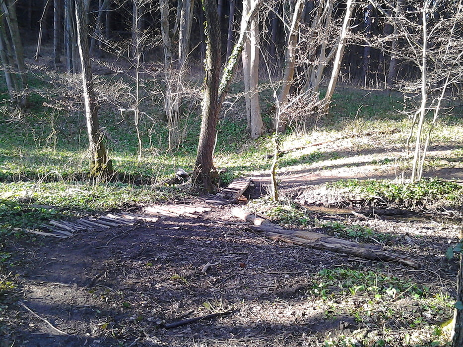
 

Tour gallery

Tour map and elevation profile

  • Open Street Map
  • Google
Minimum height 311 m Maximum height 683 m Detailed view

More about the tour author

kersti
Member since 2012

Send private message

Comments

pahocc on 05.10.2014

nette tour

abwechslungsreich - bis auf das Stück zum Jugendbrunnen alles fahrbar - wenn auch kurz etwas steil - kann man auch ggf. in die andere Richtung fahren
Parkmöglichkeit Friedhof Gaaden

GPS tracks

Trackpoints
  • GPX / Garmin Map Source (gpx) download
  • TCX / Garmin Training Center® (tcx) download
  • CRS / Garmin Training Center® (crs) download
  • Google Earth (kml) download
  • G7ToWin (g7t) download
  • TTQV (trk) download
  • Overlay (ovl) download
  • Fugawi (txt) download
  • Kompass (DAV) Track (tk) download
  • Track data sheet (pdf) download
  • Original file of the author (gpx) download

More about the tour author

kersti
Member since 2012

Send private message
Share track
Add to my favorites
Remove from my favorites
Edit tags
My score
Rate
Track: Jugendbrunnen/Anninger
Type: Mountain bike
Distance: 17,9 km
Evaluated on:
Duration:
Day(s)
Hour(s)
Minute(s)
Score: Landscape Fun factor Fitness Technique