


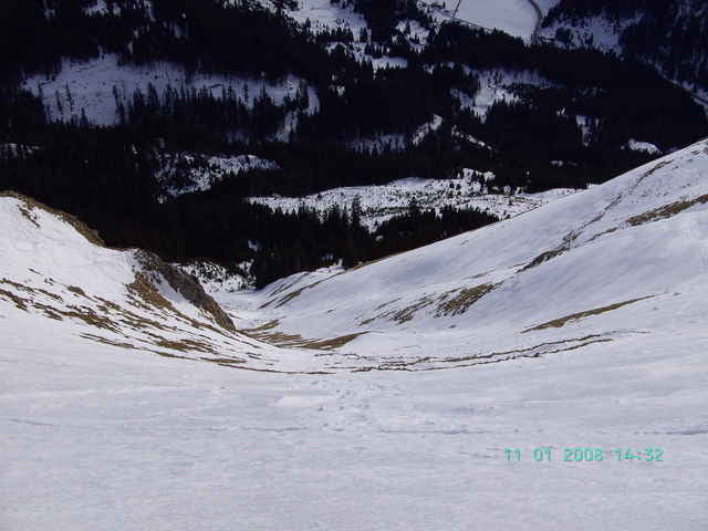
Rassige Firntour auf einen bekannten Berg im Tannheimer Tal bei sicheren Verhältnissen. Vom Parkplatz der Bad Kissinger Hütte zunächst auf Forstweg, dann bei einem Jägerstand auf der rechten Seite nach Norden über lichter werdendes Gelände durch einen kurzen Waldgürtel über den steilen Südhang Richtung Gipfel.
Tour gallery
Tour map and elevation profile
Minimum height 1159 m
Maximum height 1940 m
More about the tour author
|
|
yr1willi |
Comments

Von Kempten über Immenstadt-Sonthofen-Jochpasstraße, oder von Reutte ins Lechtal über Gaichtpass ins Tannheimer Tal.
GPS tracks
Trackpoints-
GPX / Garmin Map Source (gpx) download
-
TCX / Garmin Training Center® (tcx) download
-
CRS / Garmin Training Center® (crs) download
-
Google Earth (kml) download
-
G7ToWin (g7t) download
-
TTQV (trk) download
-
Overlay (ovl) download
-
Fugawi (txt) download
-
Kompass (DAV) Track (tk) download
-
Track data sheet (pdf) download
-
Original file of the author (g7t) download
More about the tour author
|
|
yr1willi |
Add to my favorites
Remove from my favorites
Edit tags
Open track
My score
Rate