


Vom Dorf aus , über den Parkplatz des Baumarktes, erreichst Du bald die Grünzone in Richtung Isselhorst. Durch den Wald und am Feld vorbei, kommst Du zu der Reitsportanlage Steinhagen, und zum Gut und Reiterhof Schlichte.
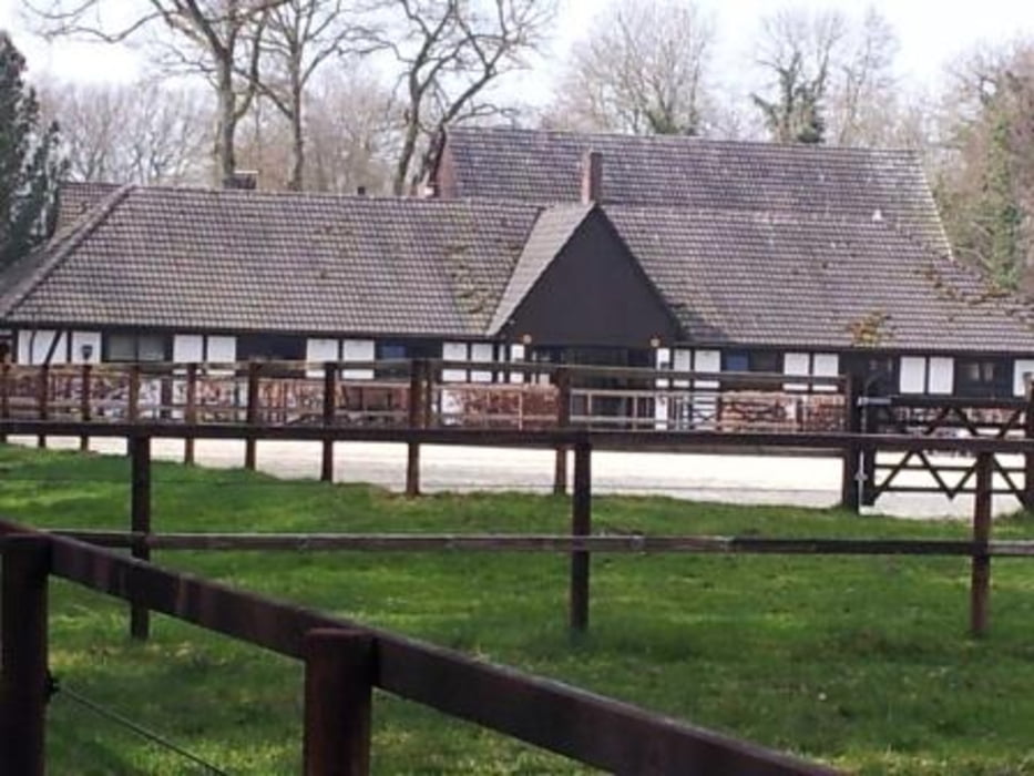
Nach Überquerung der Brockhäger Str. und am Friedhof vorbei, empfängt dich das Gestüt Ellermann am Rande der Patthorst.
Um das Schloss Patthorst zu erreichen, mußt Du 2 x durch einen Wald gehen, also nur den Treck folgen.
Eine Rast bietet sich im Cafe Nollmann in Steinhagen an.
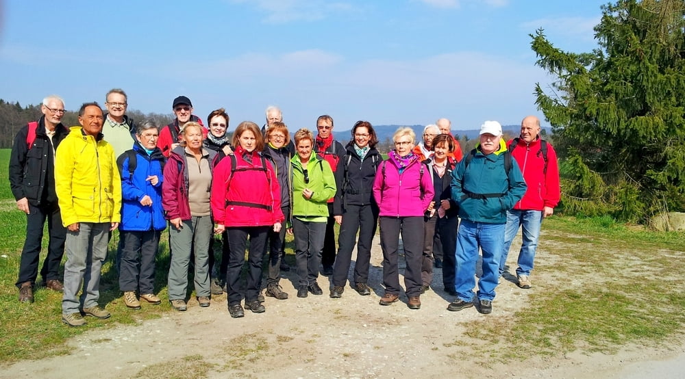
Tour gallery
Tour map and elevation profile
Minimum height -43 m
Maximum height 135 m
More about the tour author
|
|
radrolle48 |
Comments

GPS tracks
Trackpoints-
GPX / Garmin Map Source (gpx) download
-
TCX / Garmin Training Center® (tcx) download
-
CRS / Garmin Training Center® (crs) download
-
Google Earth (kml) download
-
G7ToWin (g7t) download
-
TTQV (trk) download
-
Overlay (ovl) download
-
Fugawi (txt) download
-
Kompass (DAV) Track (tk) download
-
Track data sheet (pdf) download
-
Original file of the author (gpx) download
More about the tour author
|
|
radrolle48 |
Add to my favorites
Remove from my favorites
Edit tags
Open track
My score
Rate