


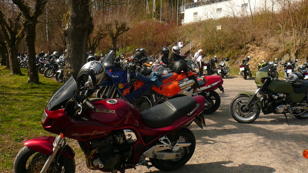
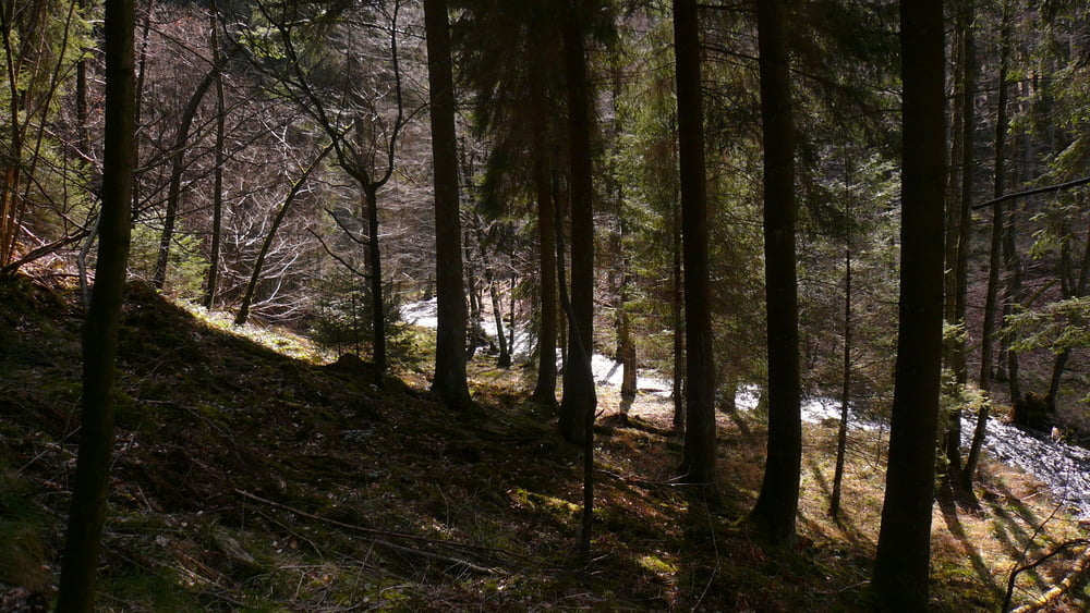
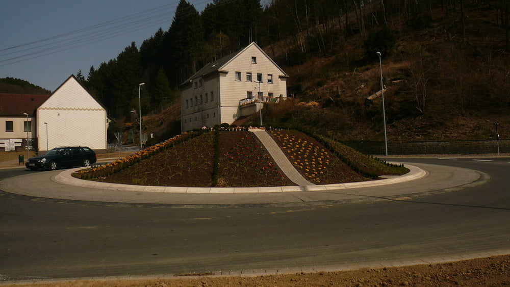
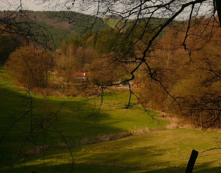
Start in der Falkenstraße, über Oststraße und Königsberger Weg durch den Wald zur L 528 und weiter nach rechts, nach ca. 500 m rechts in den Wald bis Schöneberge und weiter bis kurz hinter dem Abzweig nach Herberge rechts in den Wald bis Rotthausen, über die Straße und den Bauernhof Auf dem Mühlenfeld links hinunter zur Glör. Kurze Pause bei den Bikern und weiter auf den Singletrail mit Pause (Platten an Jürgens Vorderrad). Hinunter nach Dahlerbrück und auf der B 54 nach Schalksmühle in die Bahnhofstraße (Tiramisu und Latte bzw. Cappu) und gemächlich nach Halver zurück. Dabei noch eine "gute Tat" getan und einem Falschfahrer mit Auto auf dem "Schnurrenweg" wieder den rechten Weg gewiesen
Tour gallery
Tour map and elevation profile
Minimum height 225 m
Maximum height 428 m
More about the tour author
|
|
neuser |
Comments

GPS tracks
Trackpoints-
GPX / Garmin Map Source (gpx) download
-
TCX / Garmin Training Center® (tcx) download
-
CRS / Garmin Training Center® (crs) download
-
Google Earth (kml) download
-
G7ToWin (g7t) download
-
TTQV (trk) download
-
Overlay (ovl) download
-
Fugawi (txt) download
-
Kompass (DAV) Track (tk) download
-
Track data sheet (pdf) download
-
Original file of the author (gpx) download
More about the tour author
|
|
neuser |
Add to my favorites
Remove from my favorites
Edit tags
Open track
My score
Rate