


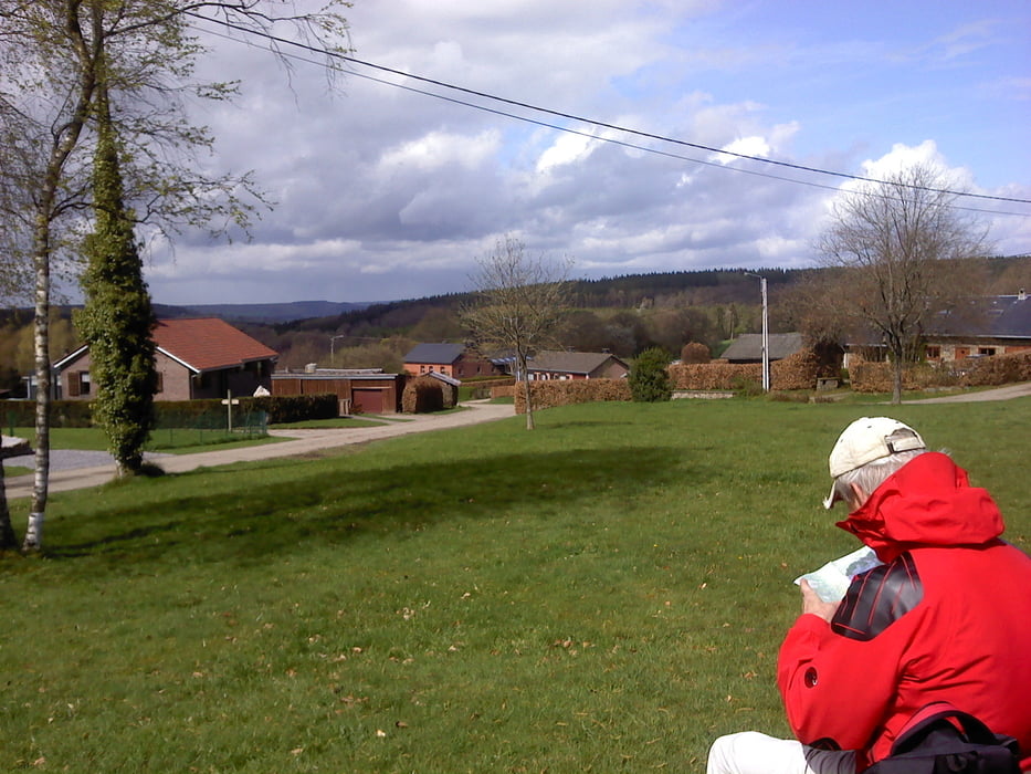
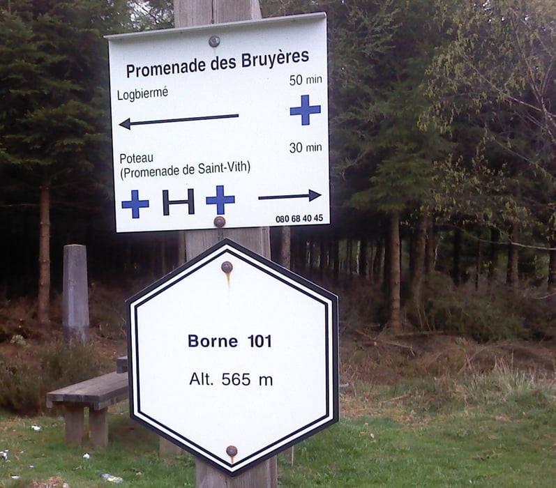
Der Start dieser Wanderung ist an der Schihütte in Rodt.Wo es direkt auf einem Waldweg Richtung Recht geht.Am Rechterweiher vorbei Richtung Logbierme,ein kleines Dorf woman ein kleine Pause macht.Andieser Raststelle hat man eine wunderschöne Aussicht;Dann geht es weiter Richtung Poteau,vorbei am Museum-Poteau Richtung Mauvaises Pierres.Dann geht es wieder Richtung Schihütte in Rodt
Further information at
http://www.zuraltenschmiede.beTour gallery
Tour map and elevation profile
Minimum height 389 m
Maximum height 581 m
More about the tour author
|
|
Wanderfrosch1960 |
Comments

GPS tracks
Trackpoints-
GPX / Garmin Map Source (gpx) download
-
TCX / Garmin Training Center® (tcx) download
-
CRS / Garmin Training Center® (crs) download
-
Google Earth (kml) download
-
G7ToWin (g7t) download
-
TTQV (trk) download
-
Overlay (ovl) download
-
Fugawi (txt) download
-
Kompass (DAV) Track (tk) download
-
Track data sheet (pdf) download
-
Original file of the author (gpx) download
More about the tour author
|
|
Wanderfrosch1960 |
Add to my favorites
Remove from my favorites
Edit tags
Open track
My score
Rate