


Wir starten in Tettnang und durchs Argental gehts nach Neuravensburg. Vorbei an Wangen über Wohmbrechts, Maria Tann, Schloß Syrgenstein nach Eglofs Tal. Nun entlang der Oberen Argen zur Badwirtschaft Malleichen. (Ab Maria Tann kann man sich am Bodensee Königsee Radweg orientieren). Rückweg über Wangen, Primisweiler, Haslachmühle, Ebersberger Weiher Hopfenmuseum nach Tettnang.
Die Tour verläuft vorwiegend auf Nebenstrassen und hat 2 kurze Abschnitte mit Kieswegen die aber auch mit dem Renner gut zu fahren sind.
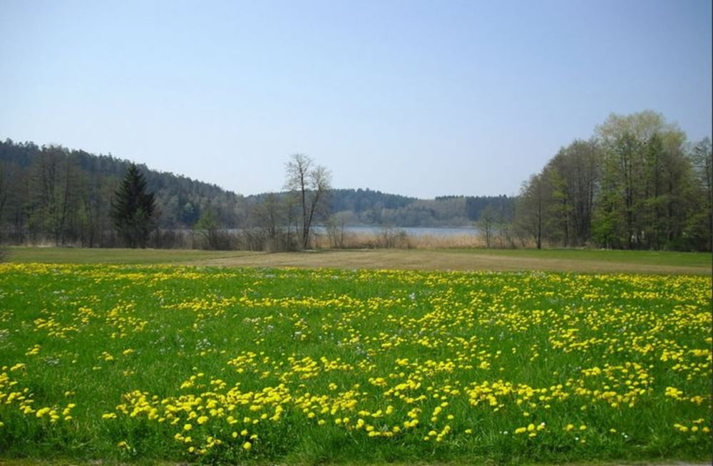
Bilder folgen....
Further information at
http://www.malleichen.deTour gallery
Tour map and elevation profile
Minimum height 414 m
Maximum height 662 m
More about the tour author
|
|
Bockrider |
Comments

Start und Ziel beim Wohnmobilstellplatz in 88069 Tettnang.
GPS tracks
Trackpoints-
GPX / Garmin Map Source (gpx) download
-
TCX / Garmin Training Center® (tcx) download
-
CRS / Garmin Training Center® (crs) download
-
Google Earth (kml) download
-
G7ToWin (g7t) download
-
TTQV (trk) download
-
Overlay (ovl) download
-
Fugawi (txt) download
-
Kompass (DAV) Track (tk) download
-
Track data sheet (pdf) download
-
Original file of the author (gpx) download
More about the tour author
|
|
Bockrider |
Add to my favorites
Remove from my favorites
Edit tags
Open track
My score
Rate