
")

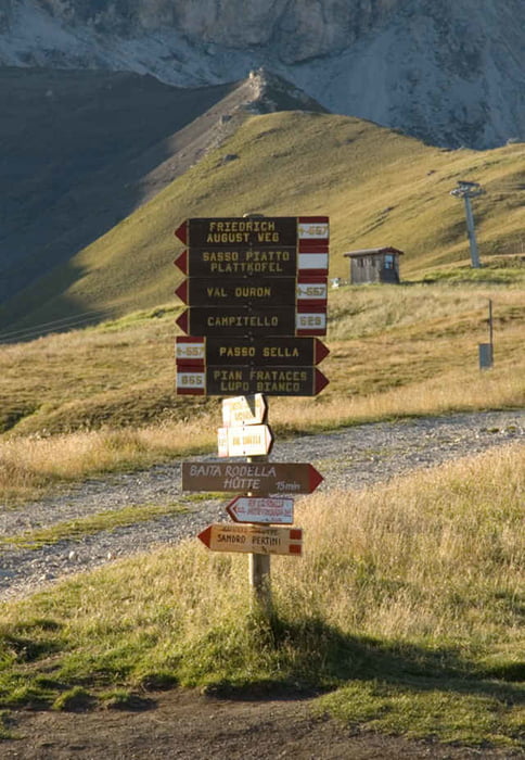
Eine recht einfache aber nicht kurze Wanderung mit wunderschönem Ausblick auf die umliegende Bergwelt Südtirols kann man in Gröden (Südtirol) unternehmen. Die Umrundung des Langkofels und des Plattkofels beginnt am Sellajoch. Am Fuße dieser beiden bekannten Südtiroler Berge können wir einmalige Ausblicke auf das Grödner Tal und die Seiser Alm erhaschen.
360° Bilder und eine genauere Wanderbeschreibung gibt es unter: Wandern Südtirol: Langkofel - Plattkofel zu sehen. Sie finden dort die Wegbezeichnungen und Angaben zur Gehzeit usw.
360° Bilder und eine genauere Wanderbeschreibung gibt es unter: Wandern Südtirol: Langkofel - Plattkofel zu sehen. Sie finden dort die Wegbezeichnungen und Angaben zur Gehzeit usw.
Further information at
http://www.diewanderer.it/rundwanderung-langkofel-plattkofel-groeden/Tour gallery
Tour map and elevation profile
Minimum height 99999 m
Maximum height -99999 m
More about the tour author

|
dimizu |
Comments

Wir nehmen die Autobahnausfahrt Brixen und fahren dann in Richtung Osten ins Grödner Tal. In Gröden angekommen fahren wir durch das gesamte Tal, St. Ulrich und St. Christina passiernd durch bis nach Wolkenstein. Weiter geht es dann bis zum Sellajoch wo wir unser Auto parken.
GPS tracks
Trackpoints-
GPX / Garmin Map Source (gpx) download
-
TCX / Garmin Training Center® (tcx) download
-
CRS / Garmin Training Center® (crs) download
-
Google Earth (kml) download
-
G7ToWin (g7t) download
-
TTQV (trk) download
-
Overlay (ovl) download
-
Fugawi (txt) download
-
Kompass (DAV) Track (tk) download
-
Track data sheet (pdf) download
-
Original file of the author (gpx) download
More about the tour author
|
|
dimizu |
Add to my favorites
Remove from my favorites
Edit tags
Open track
My score
Rate